Explore
Destinations
Places worth the drive, and what it takes to reach them.
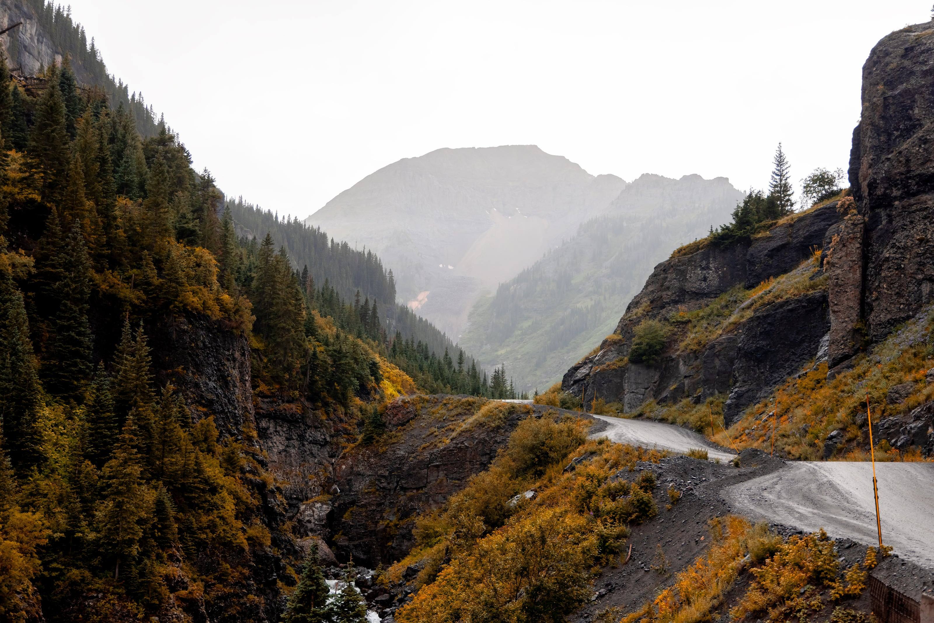
Camp Bird Road, Ouray, Colorado
Every rule on these pages comes from the people who manage the land.
Roads, vehicle requirements, camping rules, permits and seasons are quoted from the managing agency, with the source numbered on the page. Conditions and closures change by the day, so each guide ends at the agency’s own door.
01 / 19 Olympic Peninsula
Pacific Northwest
- 01 Olympic Peninsula Rain forest, a wilderness coast and subalpine ridges around one highway. The park keeps vehicles on its roads, the forest lets you camp beside many of its own, and the state wants a pass on the windshield.
- 02 Owyhee Canyonlands Sagebrush plateau, hidden river canyons and one long gravel road across the middle of it, in the far corner of Oregon and Idaho. What BLM says about getting in, and getting out.
- 03 Steens Mountain A fault-block mountain in Oregon’s high desert, with a 52-mile road to the rim, four campgrounds on the way up and a dry lake bed a vertical mile below.
California
- 04 Anza-Borrego Anza-Borrego is the rare place where a state agency hands you 500 miles of dirt road and says you may camp one vehicle length off it. These are the rules and limits exactly as California State Parks publishes them.
- 05 Death Valley The largest national park outside Alaska has more miles of road than any other national park, and hundreds of those miles are dirt. This is how the Park Service says to drive them and camp beside them.
- 06 Mojave National Preserve A preserve of 1.6 million acres between Interstates 15 and 40, with no fuel or food for sale and hundreds of miles of unpaved road. The Park Service rules for driving and camping in it are short and strict.
Southwest
- 07 Big Bend National Park A desert park with 136 miles of primitive road, 67 roadside campsites that each need a permit, and long gaps between fuel pumps. This is what the National Park Service says about all three.
- 08 Black Rock Desert An 800,000-acre conservation area in northwest Nevada where the rules let you drive across an open playa and camp almost anywhere. The Bureau of Land Management’s own guidance on doing it safely.
- 09 Grand Canyon-Parashant and Tuweep No paved roads, no services and no phone signal, and at the far end a 3,000-foot drop to the Colorado River. The agencies that manage this country are blunt about what it takes to get in and back out.
- 10 Grand Staircase-Escalante Nearly 1.9 million acres of cliffs, canyons and plateaus in southern Utah, managed by the Bureau of Land Management. Two paved highways run along its edges, and nearly every road between them is primitive.
- 11 Kofa National Wildlife Refuge Two-thirds of a million acres of Sonoran desert north of Yuma, most of it wilderness, with roads the refuge does not maintain and a camping rule that fits in one sentence.
- 12 Moab A desert town surrounded by 1.8 million acres of BLM public land, two national parks and one of the most heavily managed four-wheel-drive networks in the country. The rules change from one side of a fence to the other.
Rocky Mountains
- 13 San Juan Mountains Four old mining towns in southwest Colorado, joined by county roads that climb past 12,000 feet. This is what the agencies that manage those roads say about driving them and camping beside them.
- 14 Upper Missouri River Breaks A national monument of 377,000 acres along 149 miles of the Missouri River in central Montana, crossed by gravel and dirt roads that the BLM says become impassable when wet.