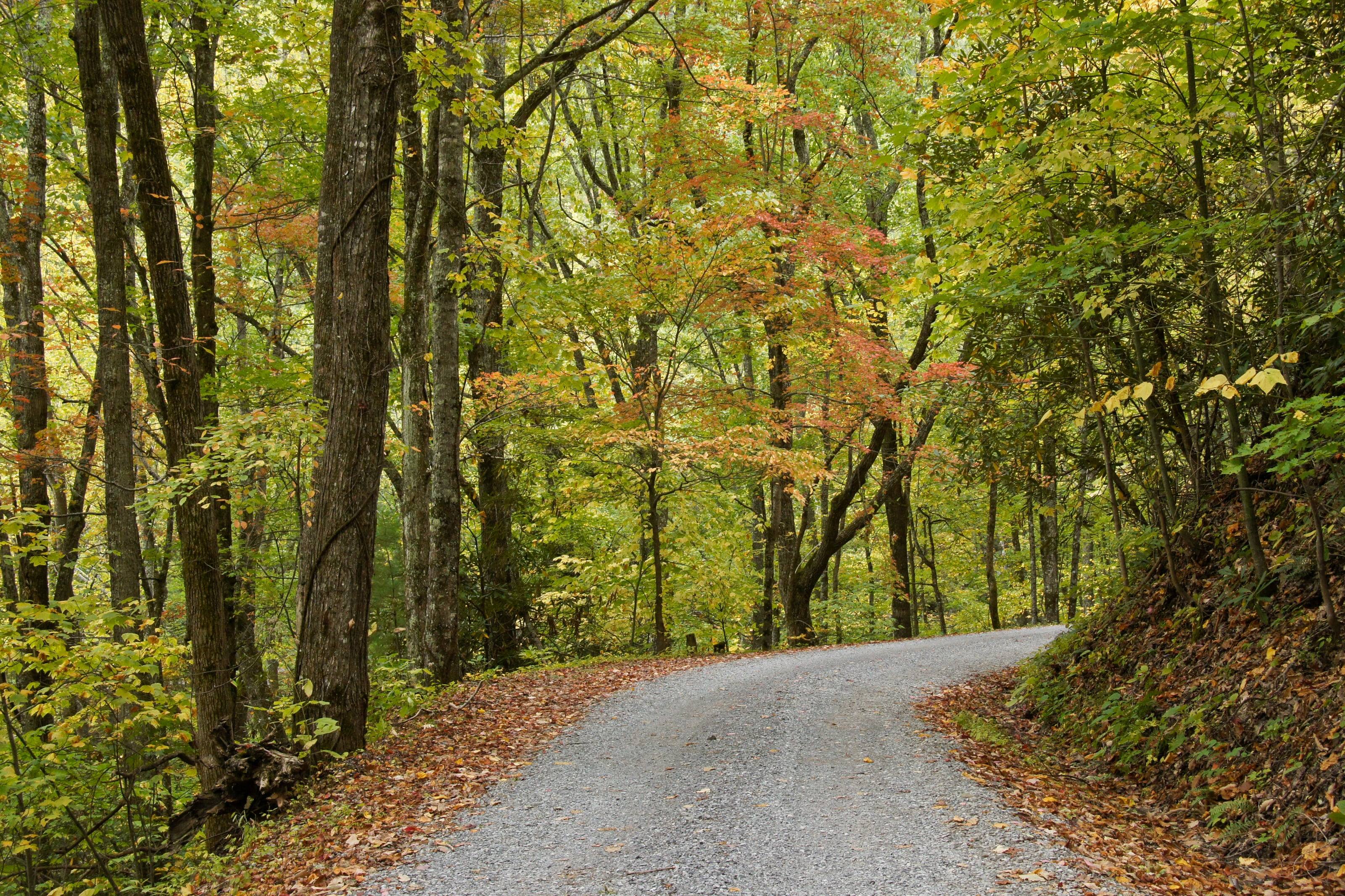
Along with nearly 190,000 acres of forest and more than 820 miles of trail
What to carry in Virginia
Two lists matter here. For the forest’s fee trail systems you need a permit bought before you arrive, because they are not sold at the trailhead: $5 a day, $12 for three days or $30 a year. For the beach at Chincoteague the Park Service requires a metal shovel, a jack, a jack support, a tire gauge that reads 15 pounds or less and a 6,000-pound tow rope or strap, and will check.
Add a paper Motor Vehicle Use Map for each district you plan to cross. It is the document that says which class of vehicle may use which route, and cell coverage in Shenandoah is unreliable.
An outfitter is the difference between reading reviews and opening the tent yourself. The good ones stock what works, install what they sell, and will tell you what they took off their own trucks.
What they carry
01Roof tents, awnings and shelter
02Fridges, kitchens and water systems
03Racks, drawers and storage
04Recovery gear and compressors
05Power stations, batteries and lighting
How to choose an outfitter
Look for people who use what they sell.
01Ask whether they install what they sell, and whether the installer is on staff.
02Ask what they run on their own vehicles, and what they stopped running.
03Compare weight as well as price. It all rides on your suspension.
04Ask about returns and exchanges on large items such as tents and fridges.
05Check that they know your vehicle. Fitment is where online orders go wrong.
What to have ready before you ask for a quote
Dimensions prevent returns.
01Vehicle, and rack or bed dimensions if you know them
02How many people travel and sleep
03The kind of trips you take, and how long
04What you already own
05A budget range
Questions people ask
What gear should I buy first?
A way to sleep well, a way to keep food cold, water storage and basic recovery gear. Everything else can wait until a few trips show you what you miss.
Is it worth buying from a local outfitter instead of online?
For anything that has to fit your vehicle or be installed, yes. Fitment mistakes on racks, tents and fridges are expensive to ship back, and an installer who sold you the part will stand behind the install.
Can I try before I buy?
Some outfitters rent roof tents, fridges and even vehicles. Say so in the form if that is what you are after.
How high is Virginia?
From Chincoteague at 3 feet to Mount Rogers at 5,729.
Altitude decides what your engine, your brakes and your lungs have to work with, and how late in the year the passes open.
02,0004,0006,000
Feet above sea level
Towns
MarionOn I-81 in Smyth County, where VA 16 leaves the interstate and runs south into the Mount Rogers National Recreation Area.2,188 ft
NortonSmall independent city in the Clinch Ranger District. The Forest Service lists the High Knob tower here, reached by SR 619 and then Forest Road 238.2,133 ft
DamascusOn US 58 in Washington County, one of the five counties of the Mount Rogers National Recreation Area. The Appalachian Trail and the Virginia Creeper Trail both run through town.1,953 ft
StauntonWhere I-81 meets I-64 and US 250 crosses the valley. A sensible place to service a vehicle before the Blue Ridge.1,390 ft
New CastleCounty seat of Craig County. The Forest Service route to the Potts Mountain Jeep Trail leaves SR 311 and runs past the Pines Campground.1,357 ft
HarrisonburgOn I-81 at the foot of the North River Ranger District. US 33 heads west from here toward the Rocky Run ATV loop.1,325 ft
WaynesboroAt Rockfish Gap, where Skyline Drive ends at its mile 104.6 entrance and the Blue Ridge Parkway begins at milepost 0.1,294 ft
CovingtonOn I-64 in the James River and Warm Springs district country, the closest services to Lake Moomaw and the campgrounds around it.1,242 ft
LexingtonI-81 and I-64 again, in the middle of the Glenwood-Pedlar country. Parts and tires before the forest roads east of town.1,054 ft
RoanokeThe forest supervisor’s office is here, at the point where I-81 meets US 220 and the Blue Ridge Parkway crosses the mountain above the city. The best place in southwest Virginia to have work done before a trip.923 ft
Buena VistaOn US 60 where the road climbs east to the Blue Ridge Parkway. Valley services below the Glenwood-Pedlar Ranger District and its South Pedlar trails.831 ft
LurayOn US 211 below Thornton Gap, the mile 31.5 entrance to Skyline Drive. Valley services on the west side of the ridge.805 ft
WoodstockOn I-81 in the Shenandoah Valley. One of the towns where the Lee Ranger District’s OHV permits are sold, which matters because they are not sold at the trailhead.782 ft
Front RoyalNorth end of Skyline Drive at mile 0, where I-66 meets US 340 and US 522. Fuel inside the park is sold at one wayside only, so fill up here.563 ft
Virginia BeachSouthern end of the state’s coast. Back Bay National Wildlife Refuge and False Cape State Park are here, and neither allows a visitor to drive in.10 ft
ChincoteagueEastern Shore town at the gate of Chincoteague National Wildlife Refuge, the only place in Virginia this page lists where a vehicle may be driven on the beach.3 ft
Passes, high roads and summits
Mount RogersThe highest point in Virginia, with no road to the top. Our own reading of the USGS surface at the summit is 5,708 feet5,729 ft
Whitetop MountainThe Forest Service calls the road to this summit the highest public road in the state. Our reading at the summit is 5,530 feet5,525 ft
Whitetop Mountain Road, Forest Road 89Whitetop Road to the Whitetop Mountain observation site, Mount Rogers National Recreation Area5,525 ft
Elliott KnobHigh ground west of Staunton, in the Augusta County part of the national forest. Our own reading, because no agency publishes an elevation for it4,464 ft
High Knob and Forest Road 238SR 619 above Norton to the High Knob tower, Clinch Ranger District4,227 ft
HawksbillThe highest peak in Shenandoah National Park, per the park’s own statistics. Our reading at the summit is 4,027 feet4,051 ft
Potts Mountain Jeep Trail, Forest Road 5036SR 311 by way of VA 615, VA 611 and VA 617, past the Pines Campground on the Eastern Divide Ranger District3,820 ft
Forest Road 57 to Comers RockVA 21 south of Wytheville to the Comers Rock campground and picnic area on Iron Mountain3,800 ft
Skyline DriveFront Royal to Rockfish Gap, along the crest of the Blue Ridge3,680 ft
Pass, road and summit elevations are the figures published by the agency that manages them. Town elevations are the town’s or county’s own
figure where it publishes an exact one; the rest are from the U.S. Geological Survey (3D Elevation Program at the place’s official coordinates),
retrieved September 18, 2026. Every source is listed at the foot of the page.
Free build quotes
Looking for overland outfitters in Virginia? Tell us about the project and get free quotes.