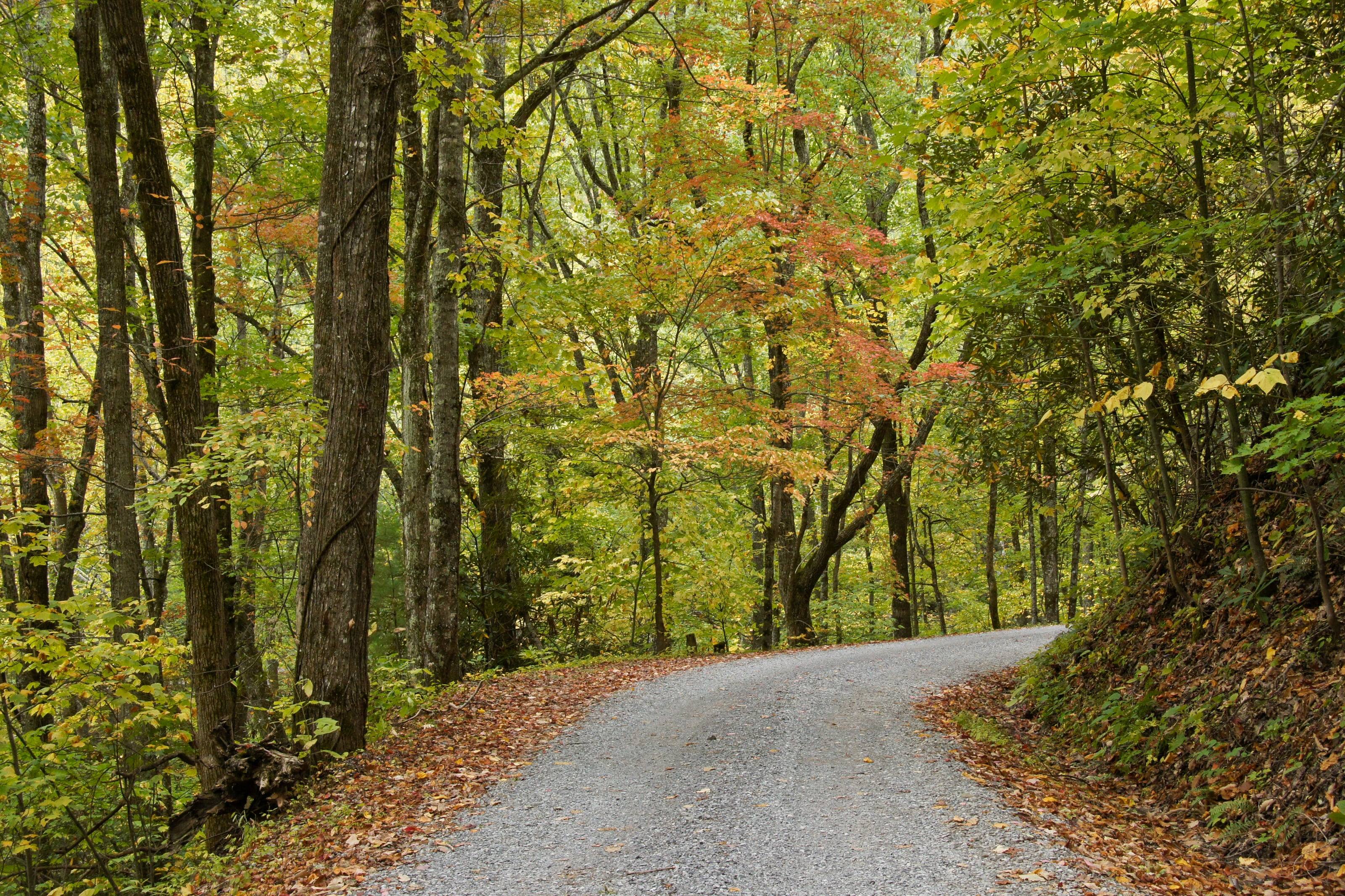
Along with nearly 190,000 acres of forest and more than 820 miles of trail
Gear for rain, ticks and a spring fire law
Buy for wet. This is a state where 43.5 inches falls in an average year and campsites sit under hardwood canopy that stays damp. A stove with a shut-off valve is worth more than a fire kit, and a tarp is worth more than either.
The fire law is specific and seasonal. From February 15 through April 30, open-air burning is banned before 4 p.m. within 300 feet of woods or dry grass, with charcoal and gas grills exempt but open park-style charcoal grills included. Forest closure orders layered on top of that generally still allow a propane stove.
Vehicle camping gear works under a different constraint than backpacking gear. Weight matters less, but everything has to survive vibration and dust and pack the same way every time. Stores that understand the difference stock 12-volt fridges, water systems and kitchens rather than ultralight pots.
What they carry
0112-volt fridges and slides
02Stoves and kitchen systems
03Water storage, pumps and filtration
04Chairs, tables and shelter
05Sleep systems
06Lighting and power stations
How to choose camp equipment
Buy fewer, better things. Every item has to be packed, carried and cleaned.
01Buy the fridge for your power system, not the other way round. Ask about power draw and what battery it needs to run overnight.
02Pack it before you buy it. Bring the measurements of your cargo area or drawers.
03Favor gear that can be repaired and has parts available.
04Choose a kitchen you can set up in the dark, in wind, when you are tired.
What to have ready before you ask for a quote
Space and power are the limits.
01Vehicle and storage dimensions
02Your power system, if you have one
03How many people, and how long you stay out
04What you already own
05A budget range
Questions people ask
Do I need a 12-volt fridge?
For trips longer than a weekend, most people never go back. No ice to find and no wet food. It does need a house battery or a power station that can carry it overnight.
How much water should I carry?
Enough for drinking, cooking and washing between reliable refills, with a reserve. How much that is depends on the climate, the people and how you cook. Carry it low in the vehicle, and in more than one container.
Is a power station enough, or do I need a second battery?
A power station is simple and portable and suits lights, devices and a small fridge for a couple of days. A wired house battery charges while you drive and suits longer trips and bigger loads.
How high is Virginia?
From Chincoteague at 3 feet to Mount Rogers at 5,729.
Altitude decides what your engine, your brakes and your lungs have to work with, and how late in the year the passes open.
02,0004,0006,000
Feet above sea level
Towns
MarionOn I-81 in Smyth County, where VA 16 leaves the interstate and runs south into the Mount Rogers National Recreation Area.2,188 ft
NortonSmall independent city in the Clinch Ranger District. The Forest Service lists the High Knob tower here, reached by SR 619 and then Forest Road 238.2,133 ft
DamascusOn US 58 in Washington County, one of the five counties of the Mount Rogers National Recreation Area. The Appalachian Trail and the Virginia Creeper Trail both run through town.1,953 ft
StauntonWhere I-81 meets I-64 and US 250 crosses the valley. A sensible place to service a vehicle before the Blue Ridge.1,390 ft
New CastleCounty seat of Craig County. The Forest Service route to the Potts Mountain Jeep Trail leaves SR 311 and runs past the Pines Campground.1,357 ft
HarrisonburgOn I-81 at the foot of the North River Ranger District. US 33 heads west from here toward the Rocky Run ATV loop.1,325 ft
WaynesboroAt Rockfish Gap, where Skyline Drive ends at its mile 104.6 entrance and the Blue Ridge Parkway begins at milepost 0.1,294 ft
CovingtonOn I-64 in the James River and Warm Springs district country, the closest services to Lake Moomaw and the campgrounds around it.1,242 ft
LexingtonI-81 and I-64 again, in the middle of the Glenwood-Pedlar country. Parts and tires before the forest roads east of town.1,054 ft
RoanokeThe forest supervisor’s office is here, at the point where I-81 meets US 220 and the Blue Ridge Parkway crosses the mountain above the city. The best place in southwest Virginia to have work done before a trip.923 ft
Buena VistaOn US 60 where the road climbs east to the Blue Ridge Parkway. Valley services below the Glenwood-Pedlar Ranger District and its South Pedlar trails.831 ft
LurayOn US 211 below Thornton Gap, the mile 31.5 entrance to Skyline Drive. Valley services on the west side of the ridge.805 ft
WoodstockOn I-81 in the Shenandoah Valley. One of the towns where the Lee Ranger District’s OHV permits are sold, which matters because they are not sold at the trailhead.782 ft
Front RoyalNorth end of Skyline Drive at mile 0, where I-66 meets US 340 and US 522. Fuel inside the park is sold at one wayside only, so fill up here.563 ft
Virginia BeachSouthern end of the state’s coast. Back Bay National Wildlife Refuge and False Cape State Park are here, and neither allows a visitor to drive in.10 ft
ChincoteagueEastern Shore town at the gate of Chincoteague National Wildlife Refuge, the only place in Virginia this page lists where a vehicle may be driven on the beach.3 ft
Passes, high roads and summits
Mount RogersThe highest point in Virginia, with no road to the top. Our own reading of the USGS surface at the summit is 5,708 feet5,729 ft
Whitetop MountainThe Forest Service calls the road to this summit the highest public road in the state. Our reading at the summit is 5,530 feet5,525 ft
Whitetop Mountain Road, Forest Road 89Whitetop Road to the Whitetop Mountain observation site, Mount Rogers National Recreation Area5,525 ft
Elliott KnobHigh ground west of Staunton, in the Augusta County part of the national forest. Our own reading, because no agency publishes an elevation for it4,464 ft
High Knob and Forest Road 238SR 619 above Norton to the High Knob tower, Clinch Ranger District4,227 ft
HawksbillThe highest peak in Shenandoah National Park, per the park’s own statistics. Our reading at the summit is 4,027 feet4,051 ft
Potts Mountain Jeep Trail, Forest Road 5036SR 311 by way of VA 615, VA 611 and VA 617, past the Pines Campground on the Eastern Divide Ranger District3,820 ft
Forest Road 57 to Comers RockVA 21 south of Wytheville to the Comers Rock campground and picnic area on Iron Mountain3,800 ft
Skyline DriveFront Royal to Rockfish Gap, along the crest of the Blue Ridge3,680 ft
Pass, road and summit elevations are the figures published by the agency that manages them. Town elevations are the town’s or county’s own
figure where it publishes an exact one; the rest are from the U.S. Geological Survey (3D Elevation Program at the place’s official coordinates),
retrieved September 18, 2026. Every source is listed at the foot of the page.
Free build quotes
Looking for camping equipment stores in Virginia? Tell us about the project and get free quotes.