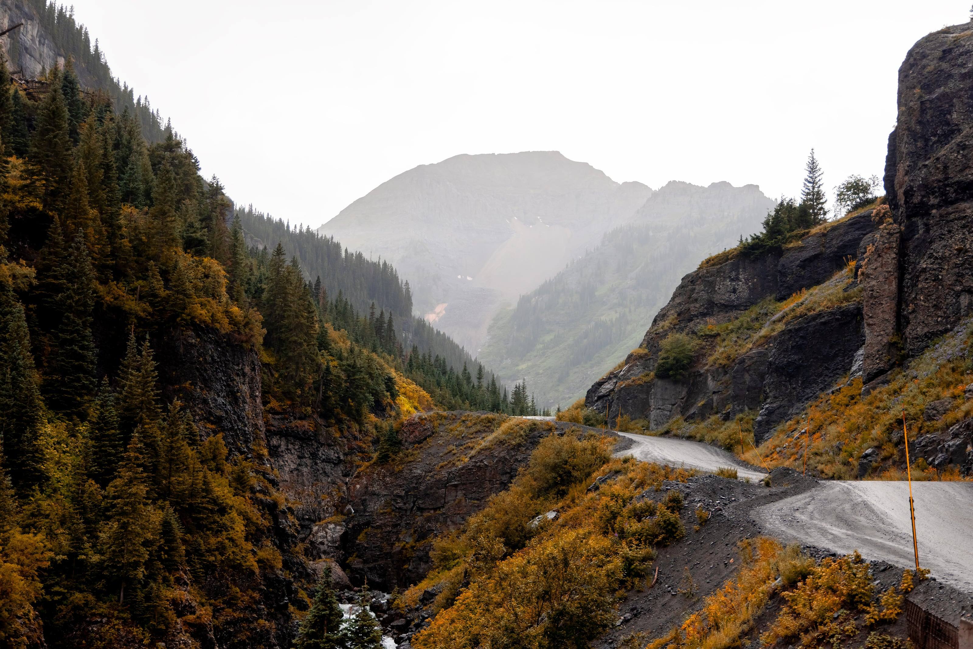
From 7 inches in the San Luis Valley to over 60 inches in a few mountain locations. Wolf Creek Pass averages close to 400 inches of snow
Acres in the Weminuche, the largest wilderness in Colorado 47
499,771
Three quarters the size of Rhode Island by the Forest Service’s comparison, and closed to every vehicle and bicycle
Tires and the Colorado traction law
Colorado writes tire requirements into law. From September 1 through May 31 on I-70 between Dotsero and Morrison, an all-wheel or four-wheel-drive vehicle needs winter tires with the mountain-snowflake symbol, tires the manufacturer rates as all-weather, or mud-and-snow tires, in every case with at least 3/16 inch of tread. CDOT can apply the same rule to any state highway when conditions call for it.
A vehicle that does not meet that standard needs chains or an approved alternative traction device on two or more drive tires. If your tires are near 3/16 inch in August, replace them before September.
Tires are the only part of the vehicle that touches the ground, and on a loaded rig they work close to their limits. A good tire shop starts with load rating and size, then tread. It will also tell you when the tire you want will rub, need different wheels or throw off your gearing.
Expect help with
01Choosing a tire by load, terrain and season
02Wheels with the right offset and load rating
03Mounting, balancing and tire pressure sensors
04A matching full-size spare
05Alignment, rotation and repairs
How to choose tires for overland travel
Tread pattern is the last decision, not the first.
01Match the load rating to your real axle weights, not to the badge on the fender.
02All-terrain tires suit most overland travel. Mud-terrains are louder, heavier and wear faster, and earn it only in real mud and rock.
03Buy five. A matching full-size spare that you rotate in is worth the money when the nearest tire shop is a day away.
04Check the wheels too. Wheels have load ratings, and the wrong offset stresses bearings and rubs.
05Ask whether the shop can move or reprogram your tire pressure sensors.
What to have ready before you ask for a quote
A tire quote is quick when the shop knows what the tire has to carry.
01Vehicle, current tire size and wheel size
02Lift height, if any
03Loaded weight, or a list of what is on the vehicle
04Where you drive most: pavement, gravel, rock, sand, snow
05A budget range for five tires
Questions people ask
What does load range mean?
It describes how much weight a tire can carry at a given pressure. Heavier builds, vans and truck campers usually need a higher load range than the vehicle came with. The tire's sidewall and the placard in the door jamb are the places to start, and a tire shop can work through the numbers with you.
How big can I go?
Every platform has a size that fits at stock height, a size that fits with a modest lift, and a size that needs trimming and gears. Tell the shop your lift and wheels and ask what fits without rubbing at full steering lock and full compression.
Should I air down?
On washboard, sand and rock, lower pressure gives a better ride and more traction and is easier on the vehicle. It also means you need a way to air back up before pavement. How low depends on your tire, your weight and your speed, so ask your tire shop and start conservatively.
How high is Colorado?
From Grand Junction at 4,591 feet to Mount Elbert at 14,433.
Altitude decides what your engine, your brakes and your lungs have to work with, and how late in the year the passes open.
4,0006,0008,00010,00012,00014,000
Feet above sea level
Towns
LeadvilleThe city calls itself the highest incorporated city in the United States. Hagerman Pass starts here and Mosquito Pass drops in from the east.10,152 ft
SilvertonSouth end of the Million Dollar Highway. Alpine Loop access on County Road 2; Ophir Pass leaves US 550 just north of town.9,318 ft
Crested ButteAt the upper end of Highway 135, on the West Elk Loop byway.8,885 ft
TellurideAt the head of a box canyon. West end of Imogene Pass and the bottom of the one-way descent from Black Bear Pass.8,789 ft
Lake CityOn Highway 149 about 55 miles south of Gunnison. Eastern gateway to the Alpine Loop.8,671 ft
Buena VistaOn US 24 below the Collegiate Peaks. The road to St. Elmo and Tincup Pass leaves the valley at Nathrop, just to the south.7,960 ft
OurayNorth end of the Million Dollar Highway. Alpine Loop access on County Road 18, and the Ouray end of Imogene Pass.7,786 ft
GunnisonOn US 50 at the start of Highway 135 to Crested Butte. Highway 149 to Lake City leaves US 50 to the west.7,703 ft
SalidaOn US 50 beside the Arkansas River, east of Monarch Pass.7,084 ft
Steamboat SpringsOn US 40 in the Yampa Valley. The Colorado Backcountry Discovery Route passes through on its way to Wyoming.6,731 ft
DurangoWhere US 160 meets US 550 on the San Juan Skyway. US 550 climbs north from here to Silverton and Ouray.6,534 ft
Colorado SpringsOn I-25 at the foot of Pikes Peak, where US 24 heads west into the mountains.6,035 ft
MontroseWhere US 50 meets US 550. East end of the Rimrocker Trail and the gateway to Black Canyon of the Gunnison.5,809 ft
DenverState capital where I-25 meets I-70. The I-70 mountain corridor starts just west at Morrison.5,280 ft
Fort CollinsNorthern Front Range. East end of the Cache la Poudre byway up Poudre Canyon and over Cameron Pass.5,004 ft
Grand JunctionOn I-70 in far western Colorado, about 250 miles west of Denver. Kokopelli’s Trail starts at Loma, just to the west.4,591 ft
Passes, high roads and summits
Mount ElbertThe highest point in Colorado. No road to the top14,433 ft
Mount Blue Sky Scenic BywayIdaho Springs to the top of Mount Blue Sky14,130 ft
Mosquito PassAlma and Fairplay to Leadville13,182 ft
Imogene PassTelluride and Ouray13,114 ft
Black Bear PassUS 550 at Red Mountain Pass, down to Telluride12,840 ft
Engineer PassAlpine Loop Back Country Byway: Lake City, Silverton and Ouray12,800 ft
Cinnamon PassAlpine Loop, between Lake City and Animas Forks12,620 ft
Rollins PassWinter Park east to the Continental Divide. The Needle’s Eye Tunnel has collapsed, so it is no longer a through route by vehicle12,233 ft
Trail Ridge RoadEstes Park to Grand Lake12,183 ft
Courthouse MountainThe monolith above the Owl Creek Pass road, on the Cimarron Ridge12,152 ft
Webster PassMontezuma, in Summit County, south over the Divide toward Handcart Gulch12,098 ft
Independence PassCO 82 between Twin Lakes and Aspen on the Top of the Rockies byway. Paved, closed all winter, and shut to vehicles 35 feet or longer12,095 ft
Hagerman PassLeadville to Basalt, by Ruedi Reservoir11,925 ft
Ophir PassUS 550 north of Silverton to Ophir11,814 ft
Chimney RockThe other landmark of the Cimarron Ridge, seen from the same drive11,781 ft
Boreas PassBreckenridge to Como, over the Continental Divide11,488 ft
Cameron PassWhere the Cache la Poudre to North Park byway crosses out of the Poudre canyon beside State Forest State Park10,276 ft
Owl Creek Pass RoadThe Cimarron Ridge country, on the Ouray Ranger District of the Uncompahgre National Forest10,114 ft
Medano Pass Primitive RoadGreat Sand Dunes to the Wet Mountain Valley and Highway 6910,040 ft
Last Dollar RoadRidgway and Telluride, west of CO 62 and CO 14510,000 ft
Pass, road and summit elevations are the figures published by the agency that manages them. Town elevations are the town’s or county’s own
figure where it publishes an exact one; the rest are from the U.S. Geological Survey (3D Elevation Program at the place’s official coordinates),
retrieved September 18, 2026. Every source is listed at the foot of the page.
Free build quotes
Looking for tire shops in Colorado? Tell us about the project and get free quotes.