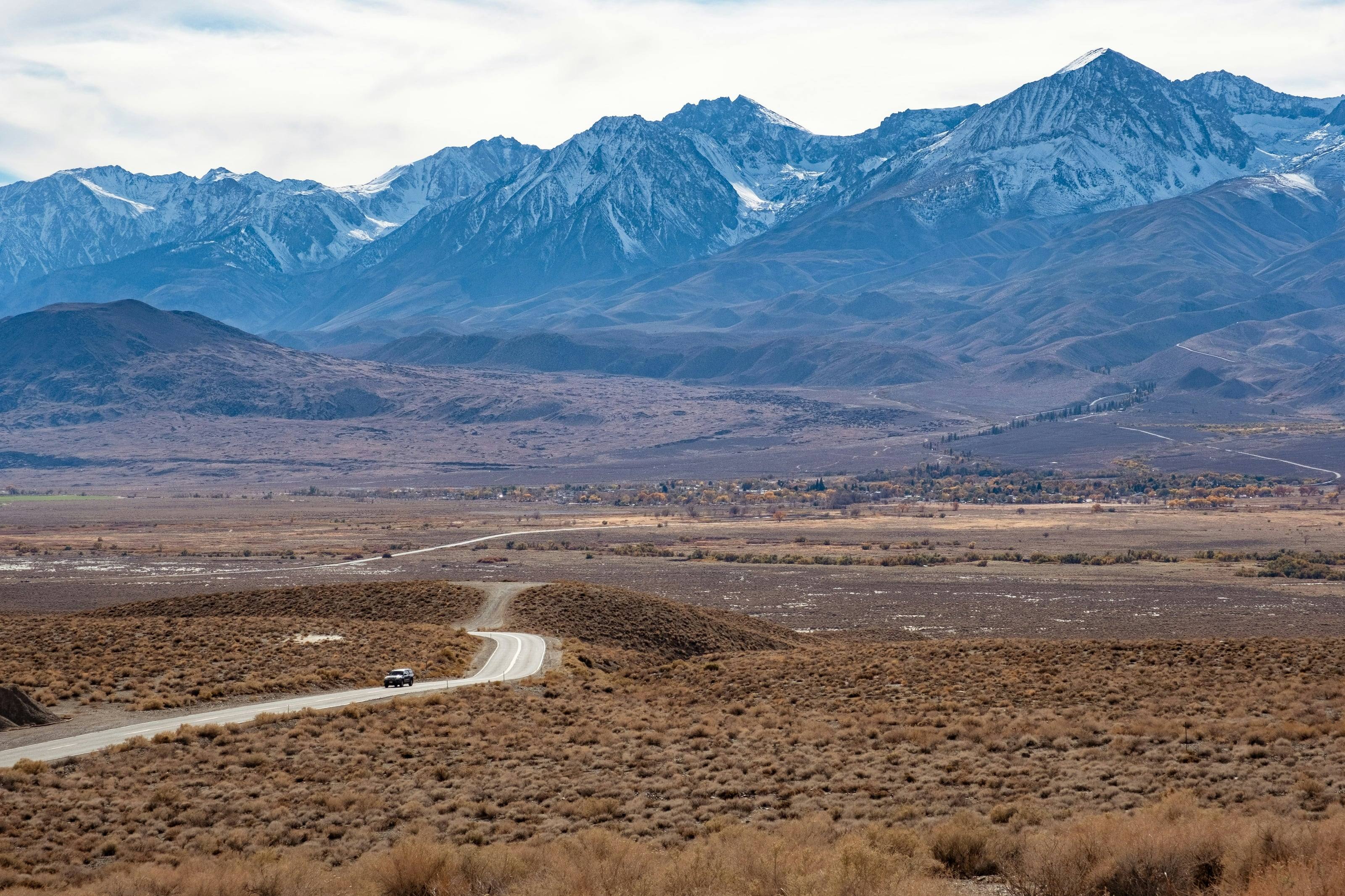
Summers are dry statewide. NOAA calls the southern deserts some of the nation’s hottest and driest areas
Skills California tests
Sand and heat, then snow. A course for this state should cover airing down and self-recovery in deep wash sand, which Anza-Borrego names as the common requirement on its roads; tire repair and changing a full size spare, which the Park Service calls the common failure in Death Valley; and navigation without cell service or signed junctions.
Add the legal half. Knowing what a Motor Vehicle Use Map means on a national forest, where a wilderness boundary sits 50 feet off the center line of a Death Valley dirt road, and what an R-1, R-2 or R-3 chain control asks of your vehicle is as useful as any driving skill.
Training is the cheapest upgrade there is. It costs less than a bumper, weighs nothing, and works on every vehicle you will ever own.
Common courses
01Driving: line choice, throttle and brake control, airing down, spotting
02Recovery: safe rigging, winching and kinetic recovery
03Field repair: tires, fluids, electrical faults and improvised fixes
04Navigation and communication
05Wilderness first aid
How to choose a course
Small classes and real terrain.
01Ask about class size and how much time you spend driving rather than watching.
02Ask whether you train in your own vehicle. You should.
03Ask about the instructors' certification and how long they have been teaching.
04Ask what terrain the course uses, and what to bring.
Why it is worth it
A trained driver breaks less, gets stuck less and recovers more safely. Most vehicle damage on the trail comes from speed and poor line choice, and most recovery injuries come from rigging that someone guessed at.
Questions people ask
I have driven dirt roads for years. Is a course worth it?
Most experienced drivers say the recovery day alone was worth it. Rigging a winch pull safely is not something to work out for the first time when you are stuck.
Do I need a built vehicle to attend?
No. Most introductory courses are designed for stock four-wheel-drive vehicles, and learning what a stock vehicle can do is the point.
How high is California?
From Brawley at -113 feet to Mount Whitney at 14,494.
Altitude decides what your engine, your brakes and your lungs have to work with, and how late in the year the passes open.
-2,00002,0004,0006,0008,00010,00012,00014,000
Feet above sea level
Towns
Lee ViningOn US 395 at the eastern foot of Tioga Pass. When Tioga Road is closed there is no way to drive into Yosemite from this side of the Sierra.6,790 ft
AlturasOn US 395 in Modoc County. CA 299 leaves US 395 five miles north of town for Cedarville, where the Surprise Valley byway begins and ends.4,372 ft
SusanvilleOn US 395 in the northeast. BLM Eagle Lake Field Office and a Lassen National Forest office cover the ground east and south of here.4,194 ft
BishopThe largest town in the Owens Valley, on US 395. BLM Bishop Field Office and an Inyo National Forest office. Dispersed camping inside this field office is capped at 14 days a year.4,145 ft
Big PineOn US 395. The Forest Service calls it the nearest food, water or fuel to the Ancient Bristlecone Pine Forest. Big Pine Road east from here reaches Eureka Valley and Death Valley.3,988 ft
Lone PineOn US 395 below Mount Whitney. Movie Road into the Alabama Hills leaves Whitney Portal Road west of the stoplight, and the Eastern Sierra Visitor Center sits south of town.3,727 ft
KernvilleOn the Kern River. The Sequoia National Forest’s Kern River Ranger District office is here, near the west end of Sherman Pass Road.2,647 ft
RidgecrestBLM Ridgecrest Field Office, between the southern Sierra and the Mojave. The usual base for the Panamint and Searles country and the southwest corner of Death Valley.2,294 ft
BarstowWhere I-15 meets I-40. BLM Barstow Field Office and the headquarters of Mojave National Preserve. The natural place to service a vehicle before the desert.2,174 ft
BakerOn I-15 where Kelbaker Road heads south into Mojave National Preserve. The Park Service lists Baker as one of the nearest gas stations and says there is none inside the preserve.932 ft
Borrego SpringsRinged by Anza-Borrego Desert State Park, with the park visitor center at the west end of Palm Canyon Drive. Named an International Dark Sky Community.589 ft
NeedlesOn I-40 beside the Colorado River. BLM Needles Field Office, and the eastern approach to the Mojave Road by way of Piute Spring.495 ft
BakersfieldWhere CA 58 meets CA 99. BLM Bakersfield Field Office, which manages the Carrizo Plain National Monument to the west. Last full services before the plain.404 ft
BlytheOn I-10 at the Arizona line. The Bradshaw Trail is reached by driving west on I-10 to the Wiley’s Well exit and south past Wiley’s Well Campground.268 ft
Shelter CoveThe road end on the Lost Coast, about 22 miles from US 101 at Redway. King Peak Road and the other King Range back roads climb inland from the road that brought you here.144 ft
BrawleyBelow sea level in the Imperial Valley. CA 78 runs east from here to the Imperial Sand Dunes; the BLM’s El Centro Field Office is south.-113 ft
Passes, high roads and summits
Mount WhitneyThe highest point in California and in the lower 48. No road to the top14,494 ft
Telescope PeakThe highest point in Death Valley National Park, above Badwater Basin11,049 ft
Patriarch GroveBristlecone Pine Forest Scenic Byway: US 395 at Big Pine, by CA 168 and White Mountain Road, to Patriarch Grove in the White Mountains11,000 ft
Tioga PassTioga Road: Crane Flat in Yosemite to Tioga Pass and US 395 at Lee Vining9,945 ft
Sherman PassSherman Pass Road: The North Fork of the Kern River west of the pass to US 395 and the high desert in the east9,200 ft
North PassSaline Valley Road: CA 190 in the south and Big Pine Road in the north, through Saline Valley7,200 ft
Red PassTitus Canyon Road: Nevada Highway 374, the Daylight Pass Road, two miles east of the park boundary, west into Death Valley5,250 ft
King PeakThe highest point in the King Range, three miles from the Pacific4,088 ft
Pass, road and summit elevations are the figures published by the agency that manages them. Town elevations are the town’s or county’s own
figure where it publishes an exact one; the rest are from the U.S. Geological Survey (3D Elevation Program at the place’s official coordinates),
retrieved September 18, 2026. Every source is listed at the foot of the page.