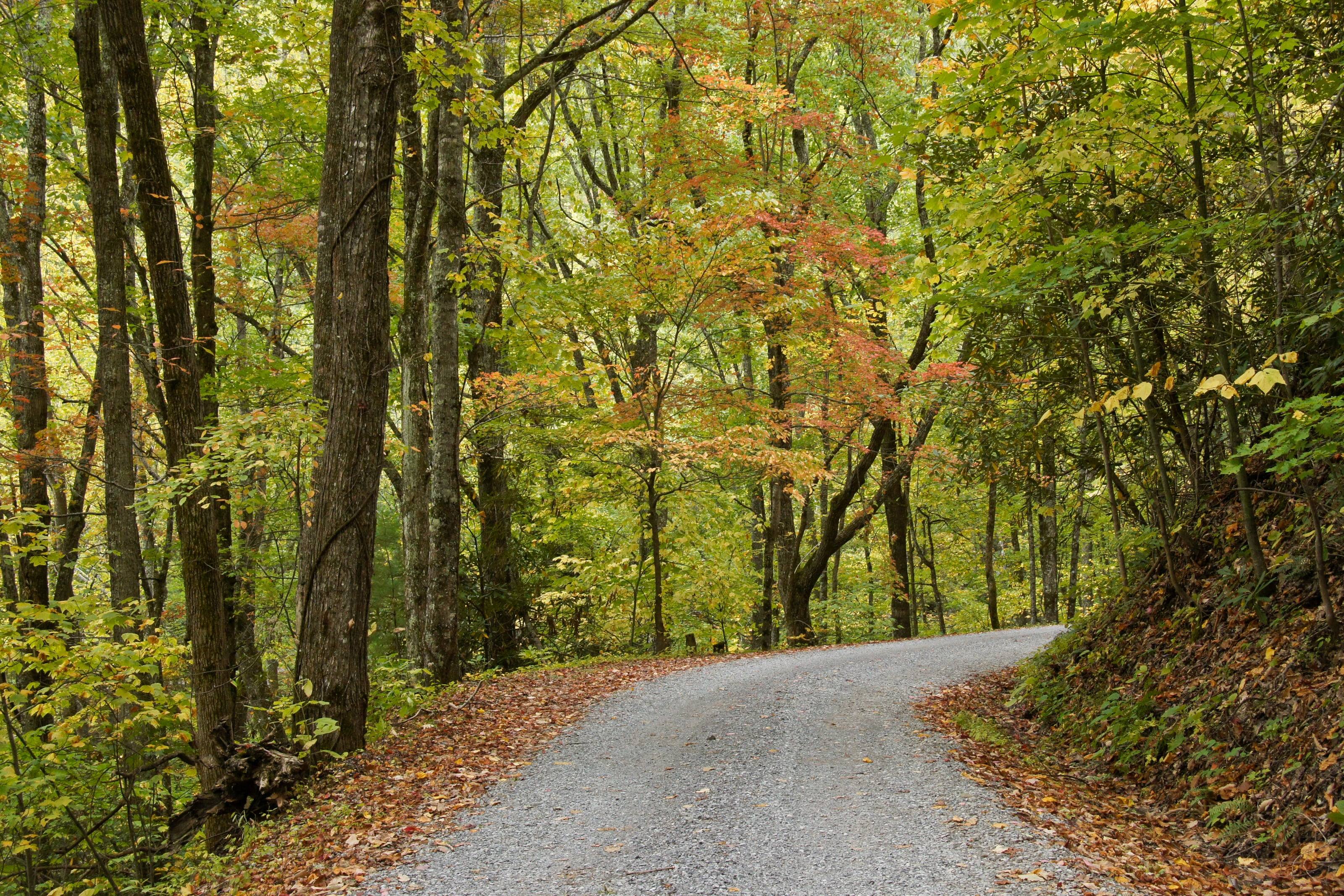
A one-lane gravel road under autumn hardwoods in the Great Smoky Mountains.

The Overland Directory

Fabricators in Virginia

Metal shops that design, cut and weld the parts you cannot buy off a shelf: bumpers, sliders, racks, skid plates, mounts and repairs.

Rich Mountain Road, Great Smoky Mountains National Park, Tennessee

Fabricators in Virginia

7 listings

  1. Big Snatch Off-Road Fredericksburg, VA Fredericksburg shop on Lafayette Boulevard selling and fitting Jeep and truck accessories, lift kits and suspension, gears and lockers, with welding, plasma cutting and complete builds.
  2. Iron Pig Off Road Fredericksburg, VA Fredericksburg maker and supplier of off road parts including axles, bumpers, suspension components, lighting, winches, recovery gear and interior fittings, mainly for Toyota Land Cruisers.
  3. Commonwealth Classics Marshall, VA Marshall dealership that imports, restores and customises classic Land Rover Defenders and Range Rover Classics, with in house upholstery and fabrication and a design centre for builds.
  4. Davis Offroad Richmond, VA Richmond off road truck shop fitting lift and leveling kits, wheels and tires, bumpers and truck accessories, with custom fabrication and its own line of steering and step kits.
  5. The4xForge Roanoke, VA Roanoke off road shop doing 4x4 maintenance and repair, suspension and steering work, welding and fabrication, gear and axle service, wheels and tires and overlanding setup.
  6. OCD Offroad Stafford, VA Stafford Jeep and four wheel drive shop fitting lift kits, doing welding, axle swaps, gears, lockers, armor and winches, and installing radios, lighting and vehicle wiring.
  7. Off Road Innovations Winchester, VA Winchester four wheel drive shop doing suspension and steering modification, lift kits, driveshafts, custom fabrication and welding, bumpers and tire carriers, armor and recovery gear.

Virginia by the numbers

Acres of federal land 1
2.3M
9.1 percent of Virginia. The Forest Service holds 1,674,033 of them and the BLM 805
Mount Rogers, the highest point in Virginia 2
5,729 ft
Grayson and Smyth counties. Our own reading of the USGS elevation surface at the summit is 5,708 feet
Acres of national forest 5
1.8M
The George Washington and Jefferson, across seven ranger districts and 23 Wildernesses
Miles of open road on the national forest 5
1,700 mi
Plus nearly 2,200 miles of trail and more than 200 developed recreation sites
Federal campgrounds a vehicle can reach 4
64
37 Forest Service, 16 Park Service and 11 Corps of Engineers; 15 are first come only
Average yearly precipitation 46
43.5 in
Under 40 inches in parts of the central mountains, about 50 inches on the tidewater coast
Peters Mill Run and Taskers Gap, the largest OHV system in the state 11
36 mi
Open to full-size four-wheel drives, on a permit that starts at $5 a day
Miles of forest road Helene hit 8
900 mi
Along with nearly 190,000 acres of forest and more than 820 miles of trail

Armour for rock, not for sand

The Potts Mountain Jeep Trail is the clearest brief a fabricator will get in this state. The Forest Service calls it difficult, says it is not recommended for standard 4x4s, and tells drivers they must be able to cross large jagged rocks on steep slopes, with harder obstacle routes marked by black arrows. That is a sliders, skid plates and recovery points job.

Keep the vehicle narrow and keep the bumpers tight. Peters Mill Run is described as steep, rocky and narrow, and the trails there carry two-way traffic on old forest road grades. Anything that widens the truck or hangs low behind the rear axle will find a rock or a bank.

The full guide to overlanding Virginia

What a fabricator does

When a catalog part does not exist for your vehicle, does not fit with what you already have, or is not strong enough for what you do, a fabricator builds it. Steel or aluminum, welded, finished, and mounted so the load goes into structure rather than sheet metal.

They also fix what breaks: cracked mounts, bent sliders, torn brackets and the frame damage that ends trips.

Common work

  1. 01Bumpers with winch mounts and rated recovery points
  2. 02Rock sliders and skid plates
  3. 03Roof racks, bed racks and ladders
  4. 04Swing-outs for tires, fuel and water
  5. 05Mounts for tanks, compressors and batteries
  6. 06Frame and bracket repair

How to choose a fabricator

Metalwork is easy to judge if you know where to look.

  1. 01Look at the welds, then at how the part mounts. Recovery points and sliders should tie into the frame.
  2. 02Ask whether they design in CAD or build to the vehicle, and whether you get drawings.
  3. 03Ask about material and finish. Raw, painted and powder coated parts age very differently.
  4. 04Ask if they have built for your platform before. Templates and fixtures save you money.
  5. 05Ask how a front bumper affects airbag sensors and crush zones. A shop that has done it properly will have an answer.

What to have ready before you ask for a quote

Photographs do most of the talking.

  1. 01Clear photos of the vehicle and the area the part mounts to
  2. 02What is already mounted there: winch model, lights, tire size
  3. 03What the part has to carry, and how much it weighs
  4. 04Steel or aluminum, and the finish you want
  5. 05A budget range and your timing

Questions people ask

Custom or off the shelf?

If a well-made part exists for your vehicle, it is usually cheaper and faster than custom, and a good fabricator will tell you so. Custom earns its cost when nothing fits, when parts from different makers have to work together, or when you need it stronger or lighter than the catalog offers.

Steel or aluminum?

Steel is stronger for the money, easier to repair in the field and heavier. Aluminum saves real weight on racks, skid plates and boxes, but costs more and needs a welder who works with it regularly. Many builds use both: steel where it hits rocks, aluminum where it just carries things.

Can a fabricator repair a cracked frame or mount?

Often, yes. Send clear photos with your request. A good shop will tell you whether it can be repaired properly or needs replacing.

How high is Virginia?

From Chincoteague at 3 feet to Mount Rogers at 5,729. Altitude decides what your engine, your brakes and your lungs have to work with, and how late in the year the passes open.

Towns

  1. Marion On I-81 in Smyth County, where VA 16 leaves the interstate and runs south into the Mount Rogers National Recreation Area. 2,188 ft
  2. Norton Small independent city in the Clinch Ranger District. The Forest Service lists the High Knob tower here, reached by SR 619 and then Forest Road 238. 2,133 ft
  3. Damascus On US 58 in Washington County, one of the five counties of the Mount Rogers National Recreation Area. The Appalachian Trail and the Virginia Creeper Trail both run through town. 1,953 ft
  4. Staunton Where I-81 meets I-64 and US 250 crosses the valley. A sensible place to service a vehicle before the Blue Ridge. 1,390 ft
  5. New Castle County seat of Craig County. The Forest Service route to the Potts Mountain Jeep Trail leaves SR 311 and runs past the Pines Campground. 1,357 ft
  6. Harrisonburg On I-81 at the foot of the North River Ranger District. US 33 heads west from here toward the Rocky Run ATV loop. 1,325 ft
  7. Waynesboro At Rockfish Gap, where Skyline Drive ends at its mile 104.6 entrance and the Blue Ridge Parkway begins at milepost 0. 1,294 ft
  8. Covington On I-64 in the James River and Warm Springs district country, the closest services to Lake Moomaw and the campgrounds around it. 1,242 ft
  9. Lexington I-81 and I-64 again, in the middle of the Glenwood-Pedlar country. Parts and tires before the forest roads east of town. 1,054 ft
  10. Roanoke The forest supervisor’s office is here, at the point where I-81 meets US 220 and the Blue Ridge Parkway crosses the mountain above the city. The best place in southwest Virginia to have work done before a trip. 923 ft
  11. Buena Vista On US 60 where the road climbs east to the Blue Ridge Parkway. Valley services below the Glenwood-Pedlar Ranger District and its South Pedlar trails. 831 ft
  12. Luray On US 211 below Thornton Gap, the mile 31.5 entrance to Skyline Drive. Valley services on the west side of the ridge. 805 ft
  13. Woodstock On I-81 in the Shenandoah Valley. One of the towns where the Lee Ranger District’s OHV permits are sold, which matters because they are not sold at the trailhead. 782 ft
  14. Front Royal North end of Skyline Drive at mile 0, where I-66 meets US 340 and US 522. Fuel inside the park is sold at one wayside only, so fill up here. 563 ft
  15. Virginia Beach Southern end of the state’s coast. Back Bay National Wildlife Refuge and False Cape State Park are here, and neither allows a visitor to drive in. 10 ft
  16. Chincoteague Eastern Shore town at the gate of Chincoteague National Wildlife Refuge, the only place in Virginia this page lists where a vehicle may be driven on the beach. 3 ft

Passes, high roads and summits

  1. Mount Rogers The highest point in Virginia, with no road to the top. Our own reading of the USGS surface at the summit is 5,708 feet 5,729 ft
  2. Whitetop Mountain The Forest Service calls the road to this summit the highest public road in the state. Our reading at the summit is 5,530 feet 5,525 ft
  3. Whitetop Mountain Road, Forest Road 89 Whitetop Road to the Whitetop Mountain observation site, Mount Rogers National Recreation Area 5,525 ft
  4. Elliott Knob High ground west of Staunton, in the Augusta County part of the national forest. Our own reading, because no agency publishes an elevation for it 4,464 ft
  5. High Knob and Forest Road 238 SR 619 above Norton to the High Knob tower, Clinch Ranger District 4,227 ft
  6. Hawksbill The highest peak in Shenandoah National Park, per the park’s own statistics. Our reading at the summit is 4,027 feet 4,051 ft
  7. Potts Mountain Jeep Trail, Forest Road 5036 SR 311 by way of VA 615, VA 611 and VA 617, past the Pines Campground on the Eastern Divide Ranger District 3,820 ft
  8. Forest Road 57 to Comers Rock VA 21 south of Wytheville to the Comers Rock campground and picnic area on Iron Mountain 3,800 ft
  9. Skyline Drive Front Royal to Rockfish Gap, along the crest of the Blue Ridge 3,680 ft

Pass, road and summit elevations are the figures published by the agency that manages them. Town elevations are the town’s or county’s own figure where it publishes an exact one; the rest are from the U.S. Geological Survey (3D Elevation Program at the place’s official coordinates), retrieved September 18, 2026. Every source is listed at the foot of the page.

Free build quotes

Looking for fabricators in Virginia? Tell us about the project and get free quotes.
Tell us about your project

Free build quotes

Tell us about your project

What are you building on?

Do you have it yet?

What do you want done?

Choose everything that applies.

What are you working with?

Budget for this work

When you want it done

A range is enough. It tells a builder which conversation to have with you.

Where should the shop be?

How far will you go for the right shop?

Where should the quotes go?

Best way to reach you

Free, and no obligation. We use these details only to connect you with builders. See our privacy page.

Sources for this page

47
  1. Congressional Research Service. Federal Land Ownership: Overview and Data (R42346), Tables 1 and 2, data as of September 30, 2024. Retrieved September 19, 2026.
  2. U.S. Geological Survey. Elevations and Distances in the United States, online edition. Retrieved September 19, 2026.
  3. U.S. Geological Survey. Geographic Names Information System and 3D Elevation Program point query. Elevation of the 3DEP surface at the GNIS coordinates of the named place, rounded to the nearest foot. Retrieved September 19, 2026.
  4. Recreation.gov. Recreation Information Database (RIDB) full export, campgrounds a vehicle can reach in Virginia. Retrieved September 19, 2026.
  5. USDA Forest Service, George Washington and Jefferson National Forests. About the Area. Retrieved September 19, 2026.
  6. USDA Forest Service, George Washington and Jefferson National Forests. Camping and Cabins, including the dispersed camping rules. Retrieved September 19, 2026.
  7. USDA Forest Service, George Washington and Jefferson National Forests. Visitor Maps and Guides, Motor Vehicle Use Map. Retrieved September 19, 2026.
  8. USDA Forest Service, George Washington and Jefferson National Forests. Disaster Recovery, George Washington and Jefferson National Forest. Retrieved September 19, 2026.
  9. USDA Forest Service, George Washington and Jefferson National Forests. George Washington and Jefferson National Forest Issues Fire Restrictions. Retrieved September 19, 2026.
  10. USDA Forest Service, George Washington and Jefferson National Forests. Mount Rogers National Recreation Area. Retrieved September 19, 2026.
  11. USDA Forest Service, Lee Ranger District. Peters Mill Run/Taskers Gap Trail System. Retrieved September 19, 2026.
  12. USDA Forest Service, Lee Ranger District. Little Fort Campground. Retrieved September 19, 2026.
  13. USDA Forest Service, Eastern Divide Ranger District. Potts Mountain Jeep Trail (Forest Road # 5036). Retrieved September 19, 2026.
  14. USDA Forest Service, Glenwood-Pedlar Ranger District. South Pedlar ATV Trail System. Retrieved September 19, 2026.
  15. USDA Forest Service, North River Ranger District. Rocky Run Trail (Forest Trail #426). Retrieved September 19, 2026.
  16. USDA Forest Service, Mount Rogers National Recreation Area. Whitetop Mountain Observation Site. Retrieved September 19, 2026.
  17. USDA Forest Service, Mount Rogers National Recreation Area. Comers Rock Recreation Area. Retrieved September 19, 2026.
  18. USDA Forest Service, Clinch Ranger District. High Knob Tower. Retrieved September 19, 2026.
  19. USDA Forest Service, Glenwood-Pedlar Ranger District. Sherando Lake Recreation Area. Retrieved September 19, 2026.
  20. National Park Service, Shenandoah National Park. Park Statistics. Retrieved September 19, 2026.
  21. National Park Service, Shenandoah National Park. Driving Skyline Drive. Retrieved September 19, 2026.
  22. National Park Service, Shenandoah National Park. Frequently Asked Questions. Retrieved September 19, 2026.
  23. National Park Service, Shenandoah National Park. Winter in Shenandoah. Retrieved September 19, 2026.
  24. National Park Service, Shenandoah National Park. Operating Dates and Hours. Retrieved September 19, 2026.
  25. National Park Service, Shenandoah National Park. Camping. Retrieved September 19, 2026.
  26. National Park Service, Blue Ridge Parkway. Getting Around. Retrieved September 19, 2026.
  27. National Park Service, Blue Ridge Parkway. Frequently Asked Questions. Retrieved September 19, 2026.
  28. National Park Service, Colonial National Historical Park. Colonial Parkway. Retrieved September 19, 2026.
  29. U.S. Fish and Wildlife Service, Chincoteague National Wildlife Refuge. Off-road vehicles. Retrieved September 19, 2026.
  30. National Park Service, Assateague Island National Seashore. Over Sand Vehicle (OSV) Use. Retrieved September 19, 2026.
  31. U.S. Fish and Wildlife Service, Back Bay National Wildlife Refuge. Rules and Policies. Retrieved September 19, 2026.
  32. Virginia Department of Conservation and Recreation. False Cape State Park. Retrieved September 19, 2026.
  33. U.S. Fish and Wildlife Service, Great Dismal Swamp National Wildlife Refuge. Rules and Policies. Retrieved September 19, 2026.
  34. Virginia Department of Conservation and Recreation. Virginia State Parks. Retrieved September 19, 2026.
  35. Virginia Department of Conservation and Recreation. Camping and campgrounds. Retrieved September 19, 2026.
  36. Virginia Department of Conservation and Recreation. General Park Rules and Regulations. Retrieved September 19, 2026.
  37. Virginia Department of Forestry. State Forests. Retrieved September 19, 2026.
  38. Virginia Department of Forestry. 4 PM Burning Law. Retrieved September 19, 2026.
  39. Virginia Department of Wildlife Resources. Access Permit. Retrieved September 19, 2026.
  40. Virginia Department of Wildlife Resources. Agreements Expand Opportunities for Wildlife-Related Recreation in Southwest Virginia. Retrieved September 19, 2026.
  41. Code of Virginia. § 46.2-915.1. All-terrain vehicles and off-road motorcycles; penalty. Retrieved September 19, 2026.
  42. Virginia Department of Motor Vehicles. Vehicle Licensing Guide VLIC-3.205, Non-Conventional Vehicles: Title Requirements, revised July 1, 2023. Retrieved September 19, 2026.
  43. Code of Virginia. § 46.2-1044. Cleats, etc., on tires; chains; tires with studs. Retrieved September 19, 2026.
  44. Virginia Department of Transportation. Highways: VDOT’s transportation system. Retrieved September 19, 2026.
  45. Virginia Department of Transportation. Virginia Byways. Retrieved September 19, 2026.
  46. NOAA National Centers for Environmental Information. State Climate Summaries 2022: Virginia. Retrieved September 19, 2026.
  47. U.S. Army Corps of Engineers. Corps Lakes Gateway: Virginia projects. Retrieved September 19, 2026.

Reviewed September 19, 2026. Conditions, closures and rules change; check with the managing agency before you travel.