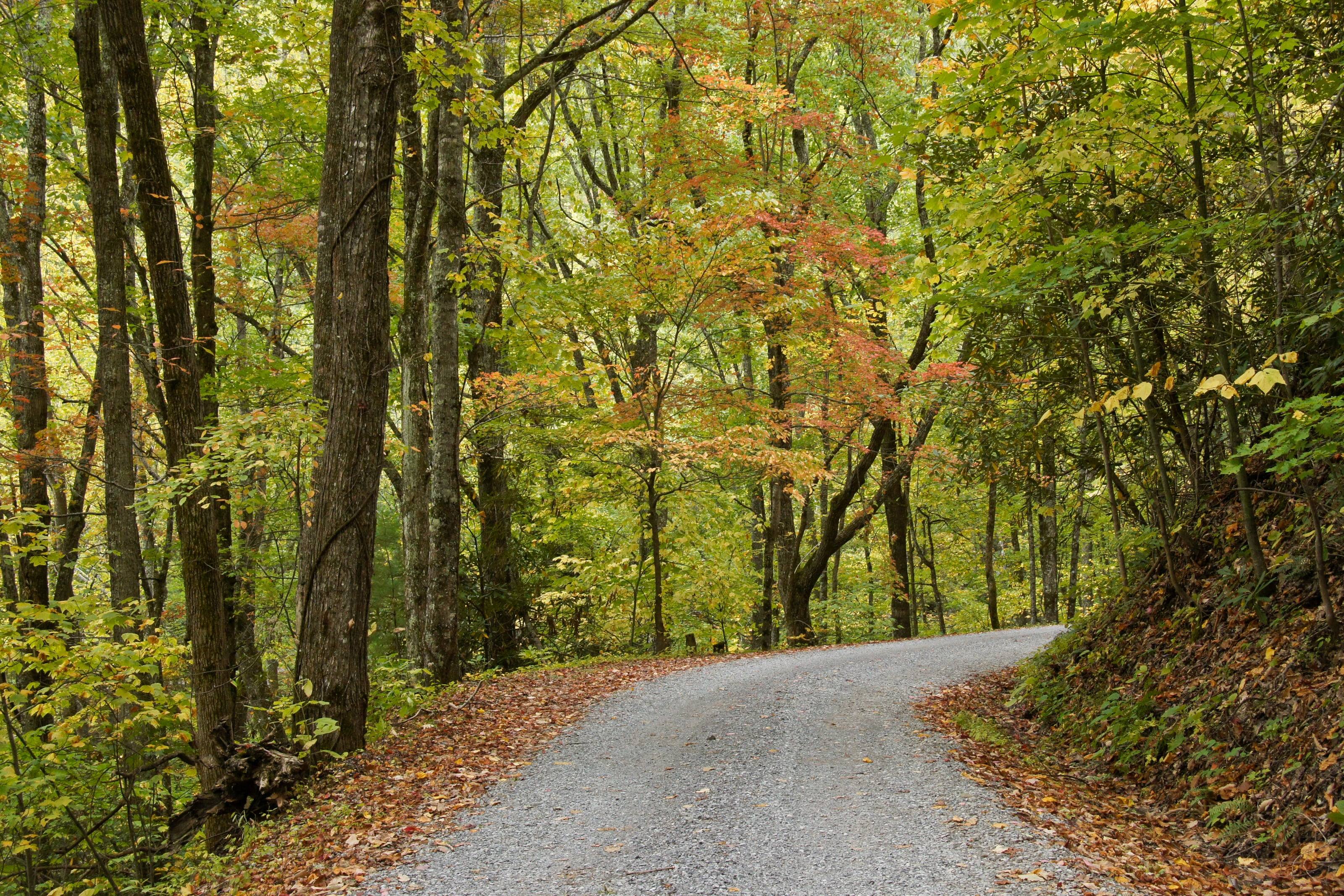
A one-lane gravel road under autumn hardwoods in the Great Smoky Mountains.

The Overland Directory

Roof tents in Tennessee

Dealers and installers for rooftop tents and awnings, and the racks that have to carry them.

Rich Mountain Road, Great Smoky Mountains National Park, Tennessee

Roof tents in Tennessee

1 listing

  1. Music City 4x4 Hendersonville, TN Off road and truck shop fitting lift and leveling kits, suspension, wheels and tires, differential work and alignments, and outfitting rigs with roof tents, racks, storage and lighting.

Tennessee by the numbers

Acres of federal land 1
1.27M
4.7 percent of Tennessee. The BLM holds none of it
Kuwohi, the highest point in Tennessee 2
6,643 ft
Sevier County. The USGS table still prints the former name, Clingmans Dome. The low point is 178 feet on the Mississippi River
Federal campgrounds a vehicle can reach 4
64
30 Forest Service, 18 Corps of Engineers across seven lakes, and 16 Park Service. Fifteen are first come, first served
Visitors a year to Great Smoky Mountains 10
12M
The most visited national park in the country, and entry to it is free
Acres of Cherokee National Forest 13
660,000+
Split into a northern and a southern half by the national park. The CRS puts all Forest Service land in Tennessee at 725,299 acres
Acres in the North Cumberland WMA 30
205,000
The largest actively managed wildlife management area in the state, across five East Tennessee counties
Average yearly precipitation, statewide 5
52.2 in
The 1895 to 2020 average. Inside the Smokies it runs 55 inches in the lowlands to 85 at Kuwohi
Nationally designated byway routes 28
10
More than any other state east of the Mississippi, and fourth most in the country

Sleeping on the roof in rain and fog

Tennessee gives a roof tent two things to handle: water and height. The state averages 52.2 inches of rain a year and the park runs 55 to 85, much of it in summer afternoon storms, so ask a dealer about fly coverage, seam sealing and how fast the fabric dries out.

Height matters because of the limits. Nothing over 25 feet long gets down Rich Mountain, Parson Branch or Roaring Fork, and the Natchez Trace Parkway holds a 14-foot ceiling. Measure the vehicle with the tent and rack fitted, once, and write the number down somewhere you will find it.

The full guide to overlanding Tennessee

What a roof tent dealer does

A roof tent gets you off the ground and sets up in minutes. It also puts weight on the highest point of the vehicle, and the rack underneath matters as much as the tent. A dealer who installs will check your roof's load ratings before anything else.

What they sell and install

  1. 01Hard-shell and soft-shell roof tents
  2. 02Awnings, annexes and insulation
  3. 03Racks and crossbars rated for the load
  4. 04Installation and removal
  5. 05Parts: covers, zippers, struts and poles

How to choose a roof tent

Open it, climb into it and close it before you buy it.

  1. 01Know your two roof numbers: the dynamic rating for driving and the static load for camping with people inside. They are different, and the rack has its own.
  2. 02Hard shells open fastest and cut through wind. Soft shells give more space for the weight and the money.
  3. 03Check the mattress, the ladder angle at your vehicle's height, and whether it closes with bedding inside.
  4. 04Ask about parts and repairs before you need them.
  5. 05Measure your garage door.

What to have ready before you ask for a quote

The roof decides what is possible.

  1. 01Vehicle, and what is on the roof or bed now
  2. 02How many people sleep in it
  3. 03The weather you camp in
  4. 04Garage height, if it lives indoors
  5. 05A budget range for the tent and the rack together

Questions people ask

Will a roof tent fit my vehicle?

Almost any vehicle can carry one with the right rack, but check the roof's dynamic load rating in the owner's manual and the rack's rating. The lower number is your limit while driving.

Hard shell or soft shell?

Hard shells are quicker, quieter in wind and better in rain and snow. Soft shells sleep more people for less money and weight, and take longer to pack. If you move camp every day, speed matters more than you expect.

Does a roof tent hurt fuel economy?

Yes, some, and you will hear it on the highway. Lower-profile tents and a fairing help. It is a trade most people accept for the sleep.

How high is Tennessee?

From Nashville at 555 feet to Kuwohi (Clingmans Dome) at 6,643. Altitude decides what your engine, your brakes and your lungs have to work with, and how late in the year the passes open.

Towns

  1. Mountain City Johnson County seat in the far northeast on TN 91 and US 421, within a few miles of both Virginia and North Carolina. 2,420 ft
  2. Crossville On I-40 at the top of the Cumberland Plateau, the halfway service stop between Nashville and Knoxville. 1,857 ft
  3. Ducktown Copper Basin town on TN 68 at the east end of the Ocoee Scenic Byway, near the Georgia and North Carolina lines. 1,740 ft
  4. Jamestown On US 127 on the plateau, between Big South Fork and the Obey River country. 1,714 ft
  5. Erwin On I-26 beside the Nolichucky. Start of the Unaka Mountain circle on TN 395 and gravel Forest Road 230. 1,669 ft
  6. Elizabethton Carter County seat on the Watauga River. TN 143 climbs from here through Roan Mountain to Carvers Gap. 1,527 ft
  7. Oneida Scott County town on US 27 and the eastern approach to Big South Fork and its Bandy Creek side. 1,443 ft
  8. Wartburg Morgan County seat between the Obed Wild and Scenic River and Frozen Head, on the plateau north of I-40. 1,380 ft
  9. Gatlinburg North gateway to Great Smoky Mountains National Park. Newfound Gap Road and the Roaring Fork Motor Nature Trail both start here. 1,290 ft
  10. LaFollette Campbell County town on US 25W below the Cumberland Mountains, under the Sundquist Unit of the North Cumberland WMA. 1,073 ft
  11. Townsend The Blount County entrance to the park. Cades Cove, Rich Mountain Road and Parson Branch Road are all reached from this side. 1,070 ft
  12. Knoxville Where I-40 meets I-75. The last large city before the Smokies, the Cherokee National Forest and the Cumberland Mountains. 899 ft
  13. Lawrenceburg On US 43 in the middle of the Tennessee stretch of the Natchez Trace Parkway, and the last real service town for many miles of it. 894 ft
  14. Tellico Plains West end of the Cherohala Skyway and the turn onto Forest Road 210 up the Tellico River. 875 ft
  15. Chattanooga Where I-75 meets I-24 at the foot of the Cumberland Plateau. Nearest city to the Ocoee gorge and the Sequatchie Valley. 676 ft
  16. Nashville State capital where I-40, I-65 and I-24 meet. The Natchez Trace Parkway ends just southwest of the city. 555 ft

Passes, high roads and summits

  1. Kuwohi (Clingmans Dome) The highest point in Tennessee. A paved seasonal road runs to the parking area below the summit 6,643 ft
  2. Kuwohi Kuwohi Road: Newfound Gap Road to the Kuwohi visitor center and overlook 6,643 ft
  3. Mount Le Conte No road to it. The Park Service says readings above 80 degrees up here are extremely rare 6,593 ft
  4. Roan High Knob Carter County, above Carvers Gap. Our own measurement at the USGS point, not an agency figure 6,282 ft
  5. Carvers Gap TN 143 to Carvers Gap: Roan Mountain up through Roan Mountain State Park to the state line 5,512 ft
  6. Unaka Mountain Scenic Drive (Forest Road 230) A circle from Erwin on TN 395, Forest Road 230 and TN 107 5,168 ft
  7. Newfound Gap Road (US 441) Gatlinburg to Cherokee, North Carolina 5,046 ft
  8. Big Frog Mountain Polk County, in the southern Cherokee National Forest. Our own measurement at the USGS point 4,210 ft
  9. Rich Mountain Road Cades Cove out to Tuckaleechee Cove and Townsend 3,692 ft

Pass, road and summit elevations are the figures published by the agency that manages them. Town elevations are the town’s or county’s own figure where it publishes an exact one; the rest are from the U.S. Geological Survey (3D Elevation Program at the place’s official coordinates), retrieved September 18, 2026. Every source is listed at the foot of the page.

Free build quotes

Looking for roof tent dealers in Tennessee? Tell us about the project and get free quotes.
Tell us what you are outfitting

Free build quotes

Tell us what you are outfitting

What are you building on?

Do you have it yet?

What do you want done?

Choose everything that applies.

What are you working with?

Budget for this work

When you want it done

A range is enough. It tells a builder which conversation to have with you.

Where should the shop be?

How far will you go for the right shop?

Where should the quotes go?

Best way to reach you

Free, and no obligation. We use these details only to connect you with builders. See our privacy page.

Sources for this page

34
  1. Congressional Research Service. Federal Land Ownership: Overview and Data (R42346), Tables 1 and 2, data as of September 30, 2024. Retrieved September 18, 2026.
  2. U.S. Geological Survey. Elevations and Distances in the United States, online edition, Highest and Lowest Elevations table. Retrieved September 19, 2026.
  3. U.S. Geological Survey. Geographic Names Information System and 3D Elevation Program point query. Elevation of the 3DEP surface at the GNIS coordinates of the named place, rounded to the nearest foot. Retrieved September 19, 2026.
  4. Recreation.gov. Recreation Information Database (RIDB) full export. Retrieved September 19, 2026.
  5. NOAA National Centers for Environmental Information. State Climate Summaries 2022: Tennessee. Retrieved September 19, 2026.
  6. National Park Service, Great Smoky Mountains National Park. Auto Touring. Retrieved September 19, 2026.
  7. National Park Service, Great Smoky Mountains National Park. Seasonal Road Schedule. Retrieved September 19, 2026.
  8. National Park Service, Great Smoky Mountains National Park. Weather. Retrieved September 19, 2026.
  9. National Park Service, Great Smoky Mountains National Park. Fees and Passes, with the Frontcountry Camping and Backcountry Camping pages. Retrieved September 19, 2026.
  10. National Park Service, Great Smoky Mountains National Park. Frequently Asked Questions, with the Traffic and Travel Tips page. Retrieved September 19, 2026.
  11. National Park Service, Great Smoky Mountains National Park. Touring Cades Cove. Retrieved September 19, 2026.
  12. National Park Service, Great Smoky Mountains National Park. Roaring Fork Motor Nature Trail, which also lists the Foothills Parkway section lengths. Retrieved September 19, 2026.
  13. USDA Forest Service, Cherokee National Forest. Cherokee National Forest home, with the Explore the Forest and Camping and Cabins pages. Retrieved September 19, 2026.
  14. USDA Forest Service, Cherokee National Forest. Campsite Limitations, and the Cherohala Skyway camping alert. Retrieved September 19, 2026.
  15. USDA Forest Service, Cherokee National Forest. Holly Flats campground, which states the forest-wide food storage restriction. Retrieved September 19, 2026.
  16. USDA Forest Service, Cherokee National Forest. Cherohala Skyway. Retrieved September 19, 2026.
  17. USDA Forest Service, Cherokee National Forest. Ocoee Scenic Byway. Retrieved September 19, 2026.
  18. USDA Forest Service, Cherokee National Forest. Unaka Mountain Scenic Drive. Retrieved September 19, 2026.
  19. USDA Forest Service, Cherokee National Forest. Tellico River Road, with the Holly Flats campground page. Retrieved September 19, 2026.
  20. USDA Forest Service, Cherokee National Forest. Hiwassee River Road. Retrieved September 19, 2026.
  21. USDA Forest Service, Cherokee National Forest. Carver’s Gap, and the TN 143 Scenic Drive page. Retrieved September 19, 2026.
  22. USDA Forest Service, Cherokee National Forest. National Forest Seasonal Road Management Schedule for the North Zone of the Cherokee National Forest. Retrieved September 19, 2026.
  23. National Park Service, Big South Fork National River and Recreation Area. Superintendent’s Compendium, signed June 4, 2026, with the park’s Camping page. Retrieved September 19, 2026.
  24. National Park Service, Natchez Trace Parkway. Frequently Asked Questions, with the Recreational Vehicles page. Retrieved September 19, 2026.
  25. National Park Service, Natchez Trace Parkway. Camping Along the Natchez Trace Parkway. Retrieved September 19, 2026.
  26. Tennessee Valley Authority. Rules for Use of TVA Public Lands. Retrieved September 19, 2026.
  27. Tennessee Valley Authority. Recreation, with the Camping and Recreation on Undeveloped TVA Public Lands pages. Retrieved September 19, 2026.
  28. Tennessee Department of Transportation. National Scenic Byways Overview, revised October 2024. Retrieved September 19, 2026.
  29. Tennessee Department of Transportation. Tennessee’s Scenic Handbook, July 2021, the Tennessee’s Byway Collection chapter. Retrieved September 19, 2026.
  30. Tennessee Wildlife Resources Agency. North Cumberland WMA. Retrieved September 19, 2026.
  31. Tennessee Wildlife Resources Agency. Licenses and Permits: High-Impact Habitat Conservation Permits, and the North Cumberland Off-Highway Vehicle Permit. Retrieved September 19, 2026.
  32. Tennessee Wildlife Resources Agency. General Wildlife Management Area Regulations. Retrieved September 19, 2026.
  33. Tennessee Department of Revenue. Off-Highway Vehicles, under Vehicle Registration. Retrieved September 19, 2026.
  34. Tennessee Department of Agriculture, Division of Forestry. Get a Burn Permit in Tennessee. Retrieved September 19, 2026.

Reviewed September 19, 2026. Conditions, closures and rules change; check with the managing agency before you travel.