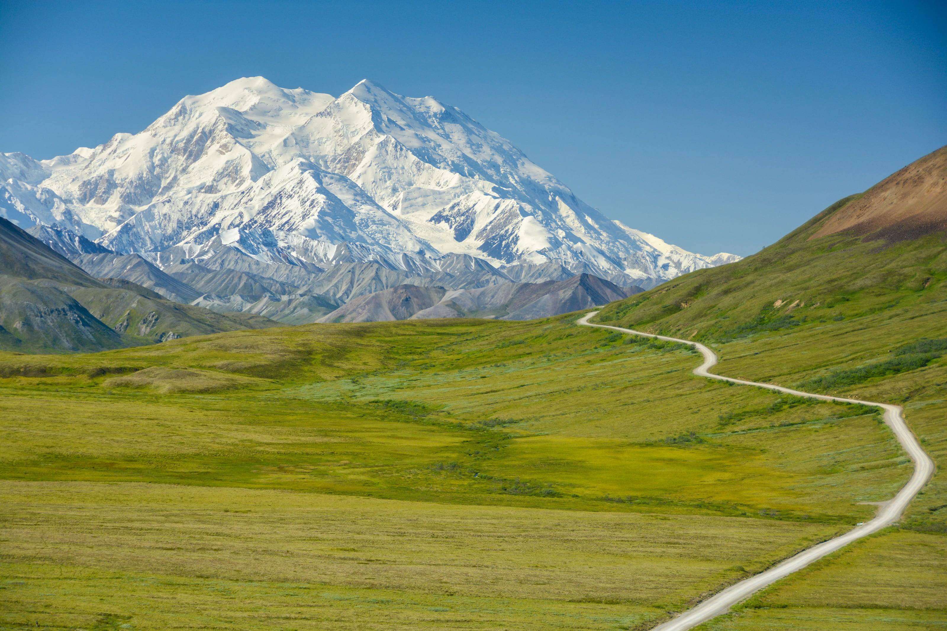
The gravel Denali Park Road crossing open tundra toward the mountain.

The Overland Directory

Campgrounds in Hawaii

Established campgrounds that welcome vehicle-based travelers, from public campgrounds on the way to somewhere to private camps worth a stay of their own.

Denali Park Road, Alaska

We’re working on adding the latest campgrounds in Hawaii here.

In the meantime, BLM campgrounds are already on the public land map, with the fees and stay limits the agency publishes and a link to each one.

Hawaii by the numbers

of Hawaii is federal land 1
21%
861,254 of 4,105,600 acres, and the Park Service holds more of it than any other agency
acres of BLM or Forest Service land 1
0
The two agencies that carry most of the West manage nothing in this state. There is no national forest here
acres in 57 state forest reserves 41
700,645
The division’s by-island table. Its forest reserve page gives over 683,964 acres for the same system
acres at Hawaiʻi Volcanoes 7
354,461
106 miles of roads, 155 miles of marked trails and 123,100 acres of legislated wilderness
Puʻu Wēkiu on Mauna Kea, the state high point 2
13,796 ft
USGS published. Our own reading of the elevation surface at its map point gives 13,797
miles of state trails, roads and access routes 46
432
154 features in the Nā Ala Hele system. Its own executive summary says over 400 miles
climbed by the eight-mile Maunakea summit road 25
5,000 ft
Two-wheel drive vehicles are not permitted above the visitor station at 9,200 feet
federal campgrounds a vehicle can reach 4
2
Hosmer Grove and Kīpahulu, both at Haleakalā, both reserved ahead; our build of the federal recreation database

Where you can camp in Hawaii

Four systems, four sets of rules. Our build of the federal recreation database finds two campgrounds a vehicle can reach in the entire state, Hosmer Grove and Kīpahulu, both at Haleakalā and both reserved in advance. Hawaiʻi Volcanoes adds two first-come drive-in campgrounds of its own at Nāmakanipaio and Kulanaokuaiki.

Beyond that it is state parks, five consecutive nights and no sleeping in the vehicle; the counties, which carry most of the beach camping; and the forest reserves, where a permit is required and camping is allowed only at official campsites.

The full guide to overlanding Hawaii

Three kinds of camping

Developed campgrounds have numbered sites, toilets, often water, usually a fee and sometimes reservations. They are the easy night on the way to somewhere.

Dispersed camping means no facilities and no fee. It is allowed on much Bureau of Land Management and National Forest land, within local rules on where you can pull off, how long you can stay and whether you can have a fire.

Private campgrounds and ranch stays add showers, laundry and hookups: the reset day in the middle of a long trip.

How to find a good one

The managing agency's own page is the only source for current status.

  1. 01Check the agency page for closures, fire restrictions and water before you drive in.
  2. 02Check the stay limit. Many public lands use fourteen days within a set period, but it varies by office.
  3. 03Check vehicle length limits and the condition of the access road.
  4. 04Arrive before dark, and have a second option.

Camp so it stays open

Most closures of dispersed areas follow the same pattern of trash, new fire rings and driving off the track.

  1. 01Use sites that already exist rather than making new ones.
  2. 02Pack out everything, including human waste where it is required.
  3. 03Have fires only where and when they are allowed, and drown them.
  4. 04Leave gates as you found them.

Questions people ask

Is dispersed camping legal?

On much BLM and National Forest land, yes, within local rules on where you can pull off, how long you can stay and whether fires are allowed. Rules are set by the local office and change with conditions, so check before you go. The public land map shows who manages the ground.

How long can I stay?

Many public lands use a 14-day limit within a set period, but it varies by office and by area. The campground details on the public land map show the stay limit the BLM publishes for each site.

Do I need a reservation?

For popular developed campgrounds in season, often. Many public campgrounds are first come, first served. Recreation.gov handles reservations for most federal campgrounds that take them.

How high is Hawaii?

From Kaunakakai at 12 feet to Puʻu Wēkiu, Mauna Kea at 13,796. Altitude decides what your engine, your brakes and your lungs have to work with, and how late in the year the passes open.

Towns

  1. Volcano At the Hawaiʻi Volcanoes entrance, where the park sells no fuel 3,743 ft
  2. Waimea Upcountry Hawaiʻi Island, between the Kohala coast and Saddle Road 2,666 ft
  3. Lānaʻi City Lānaʻi’s only town, at 1,635 feet in the middle of the island 1,635 ft
  4. Pukalani Last fuel on the way up to the Haleakalā summit 1,427 ft
  5. Honokaʻa Top of Route 240 and the last town before the Waipiʻo lookout 1,084 ft
  6. Nāʻālehu Kaʻū district services on the belt road near the Kahuku Unit 659 ft
  7. Pāhoa Lower Puna, where the 2018 flows rewrote the road map 649 ft
  8. Pāʻia Last fuel before Hāna on the north shore road 254 ft
  9. Līhuʻe Kauaʻi’s harbour and airport, and the island’s service centre 207 ft
  10. Kapaʻa East Kauaʻi services on the way to the end of the north shore road 130 ft
  11. Hāna East Maui services, 12 miles short of the Kīpahulu district 129 ft
  12. Kailua-Kona Dry-side services and the long way round to the volcano 54 ft
  13. Kahului Maui’s harbour and airport, where a shipped vehicle lands 34 ft
  14. Waimea The turn for the canyon road and the west-side approach to Polihale 30 ft
  15. Hilo The wet-side port and the fullest services on Hawaiʻi Island 19 ft
  16. Kaunakakai Molokaʻi’s one town, and the county campgrounds west of it 12 ft

Passes, high roads and summits

  1. Puʻu Wēkiu, Mauna Kea The state high point, published by USGS. Our own reading of the elevation surface at its map point gives 13,797 13,796 ft
  2. Mauna Loa The largest active volcano on the planet, covering half of Hawaiʻi Island. Our own reading at its map point gives 13,674 13,679 ft
  3. Haleakalā summit The Park Service figure for the summit of the Maui volcano, reached by 11 miles of paved road above the entrance station 10,023 ft
  4. Haleakalā summit Haleakalā Crater Road to the summit 10,023 ft
  5. Maunakea Visitor Information Station Maunakea Access Road and the summit road 9,200 ft
  6. Hualālai Our own reading of the elevation surface at its map point, above Kailua-Kona 8,269 ft
  7. Puʻu Lāʻau Puʻu Lāʻau Road 7,000 ft
  8. Mauna Loa Lookout The end of the narrow one-lane Mauna Loa Road inside Hawaiʻi Volcanoes, and the highest point a road reaches in the park 6,662 ft
  9. Mauna Loa Lookout Mauna Loa Road 6,662 ft
  10. Polipoli Spring Polipoli Spring State Recreation Area road 6,200 ft
  11. Puʻu Kukui Our own reading of the elevation surface at its map point, the West Maui high point 5,788 ft
  12. Kawaikini Our own reading of the elevation surface at its map point, the Kauaʻi high point 5,212 ft
  13. Waiʻaleʻale Our own reading of the elevation surface at its map point, on the Kauaʻi summit plateau 5,123 ft
  14. Kamakou Our own reading of the elevation surface at its map point, the Molokaʻi high point 4,984 ft
  15. Kaʻala Our own reading of the elevation surface at its map point, the Oʻahu high point 4,038 ft
  16. Kalalau Lookout Kōkeʻe Road and the canyon rim, Kauaʻi 4,000 ft
  17. Lānaʻihale Our own reading of the elevation surface at its map point, the Lānaʻi high point 3,379 ft

Pass, road and summit elevations are the figures published by the agency that manages them. Town elevations are the town’s or county’s own figure where it publishes an exact one; the rest are from the U.S. Geological Survey (3D Elevation Program at the place’s official coordinates), retrieved September 18, 2026. Every source is listed at the foot of the page.
Sources for this page

58
  1. Congressional Research Service. Federal Land Ownership: Overview and Data (R42346), Tables 1 and 2, data as of September 30, 2024. Retrieved September 25, 2026.
  2. U.S. Geological Survey. Elevations and Distances in the United States, online edition. Retrieved September 25, 2026.
  3. U.S. Geological Survey. Geographic Names Information System and 3D Elevation Program point query. Elevation of the 3DEP surface at the GNIS coordinates of the named place, rounded to the nearest foot. Retrieved September 25, 2026.
  4. Recreation.gov. Recreation Information Database (RIDB) full export, the site’s own build of it. Retrieved September 25, 2026.
  5. U.S. Geological Survey. Mauna Loa. Retrieved September 25, 2026.
  6. U.S. Geological Survey. Kīlauea. Retrieved September 25, 2026.
  7. National Park Service. Hawaiʻi Volcanoes National Park fact sheet, 2023. Retrieved September 25, 2026.
  8. National Park Service. Drive Chain of Craters Road. Retrieved September 25, 2026.
  9. National Park Service. See Crater Rim Drive and Chain of Craters Road. Retrieved September 25, 2026.
  10. National Park Service. Drive Hilina Pali Road. Retrieved September 25, 2026.
  11. National Park Service. Campgrounds, Hawaiʻi Volcanoes National Park. Retrieved September 25, 2026.
  12. National Park Service. Backcountry hiking, Hawaiʻi Volcanoes National Park. Retrieved September 25, 2026.
  13. National Park Service. Fees and passes, Hawaiʻi Volcanoes National Park. Retrieved September 25, 2026.
  14. National Park Service. Directions and transportation, Hawaiʻi Volcanoes National Park. Retrieved September 25, 2026.
  15. National Park Service. Mauna Loa Lookout. Retrieved September 25, 2026.
  16. National Park Service. The Kahuku Unit. Retrieved September 25, 2026.
  17. National Park Service. Frequently asked questions, Haleakalā National Park. Retrieved September 25, 2026.
  18. National Park Service. Fees and passes, Haleakalā National Park. Retrieved September 25, 2026.
  19. National Park Service. Camping, Haleakalā National Park. Retrieved September 25, 2026.
  20. National Park Service. Hosmer Grove Campground. Retrieved September 25, 2026.
  21. National Park Service. Wilderness, Haleakalā National Park. Retrieved September 25, 2026.
  22. National Park Service. Directions, Haleakalā National Park. Retrieved September 25, 2026.
  23. National Park Service. Kīpahulu District, Haleakalā National Park. Retrieved September 25, 2026.
  24. U.S. Fish and Wildlife Service. Hakalau Forest National Wildlife Refuge, Visit Us. Retrieved September 25, 2026.
  25. Center for Maunakea Stewardship, University of Hawaiʻi at Hilo. Visiting Maunakea safely and responsibly. Retrieved September 25, 2026.
  26. Center for Maunakea Stewardship, University of Hawaiʻi at Hilo. Maunakea Visitor Information Station. Retrieved September 25, 2026.
  27. Center for Maunakea Stewardship, University of Hawaiʻi at Hilo. Activities and permits on Maunakea, under Hawaii Administrative Rules Chapter 20-26. Retrieved September 25, 2026.
  28. Hawaii Department of Land and Natural Resources. Camping, Division of State Parks. Retrieved September 25, 2026.
  29. Hawaii Department of Land and Natural Resources. Polihale State Park. Retrieved September 25, 2026.
  30. Hawaii Department of Land and Natural Resources. Polipoli Spring State Recreation Area. Retrieved September 25, 2026.
  31. Hawaii Department of Land and Natural Resources. Waiʻānapanapa State Park, with the campervan permit. Retrieved September 25, 2026.
  32. Hawaii Department of Land and Natural Resources. Kōkeʻe State Park. Retrieved September 25, 2026.
  33. Hawaii Department of Land and Natural Resources. Kaʻena Point State Park and the Vehicle Access Special Use Permit. Retrieved September 25, 2026.
  34. Hawaii Department of Land and Natural Resources. Nāpali Coast State Wilderness Park, park information. Retrieved September 25, 2026.
  35. Hawaii Department of Land and Natural Resources. Hāʻena and Nāpali Coast access information. Retrieved September 25, 2026.
  36. Hawaii Department of Land and Natural Resources. DLNR working towards reopening Polihale State Park, news release nr20-139. Retrieved September 25, 2026.
  37. Hawaii Department of Land and Natural Resources. Hawaii Administrative Rules, Title 13 Chapter 146, State Parks. Retrieved September 25, 2026.
  38. Hawaii Department of Land and Natural Resources. Hawaii Administrative Rules, Chapter 13-104, Rules Regulating Activities Within Forest Reserves, amendment and compilation. Retrieved September 25, 2026.
  39. Hawaii Department of Land and Natural Resources. Permit guidelines, Division of Forestry and Wildlife. Retrieved September 25, 2026.
  40. Hawaii Department of Land and Natural Resources. Camping, Division of Forestry and Wildlife outdoor recreation. Retrieved September 25, 2026.
  41. Hawaii Department of Land and Natural Resources. Forest Reserves by island, with counts and acreages. Retrieved September 25, 2026.
  42. Hawaii Department of Land and Natural Resources. Forest Reserve System. Retrieved September 25, 2026.
  43. Hawaii Department of Land and Natural Resources. Lands and management classifications, Division of Forestry and Wildlife. Retrieved September 25, 2026.
  44. Hawaii Department of Land and Natural Resources. Nā Ala Hele Trail and Access Program. Retrieved September 25, 2026.
  45. Hawaii Department of Land and Natural Resources. Off-highway vehicles, Nā Ala Hele. Retrieved September 25, 2026.
  46. Hawaii Department of Land and Natural Resources. Report to the Thirty-First Legislature, 2022 Regular Session: Nā Ala Hele, fiscal year 2021. Retrieved September 25, 2026.
  47. Hawaii Invasive Species Council, Department of Land and Natural Resources. Rapid ʻŌhiʻa Death. Retrieved September 25, 2026.
  48. Hawaiʻi Birding Trails, Department of Land and Natural Resources. Palila Forest Discovery Trail and Puʻu Lāʻau Road. Retrieved September 25, 2026.
  49. County of Hawaiʻi, Office of the Mayor. Twenty-fourth Mayor’s Waipiʻo Valley Road continued Emergency Rule No. 2 and Emergency Rule No. 1, effective July 4, 2026. Retrieved September 25, 2026.
  50. County of Hawaiʻi. Out of state permit, Vehicle Registration and Licensing Division. Retrieved September 25, 2026.
  51. County of Hawaiʻi. Camping reservations, Department of Parks and Recreation. Retrieved September 25, 2026.
  52. County of Kauaʻi Department of Parks and Recreation. Campground guidelines, rules and fees. Retrieved September 25, 2026.
  53. County of Maui Department of Parks and Recreation. Campground guide and rules, and camping information and fees. Retrieved September 25, 2026.
  54. National Weather Service, Honolulu. Climate of Hawaiʻi. Retrieved September 25, 2026.
  55. Hawaii Department of Transportation. Saddle Road renamed Daniel K. Inouye Highway, realignment to Māmalahoa Highway opened. Retrieved September 25, 2026.
  56. Hawaii Department of Transportation. Maui state roads and highways, with the definition of each route. Retrieved September 25, 2026.
  57. Hawaii Department of Business, Economic Development and Tourism. The State of Hawaii Data Book 2023, Section 18, Table 18.01: distances of selected state routes and interstates, from the Department of Transportation Highways Division. Retrieved September 25, 2026.
  58. Federal Highway Administration. America’s Byways in Hawaii. Retrieved September 25, 2026.

Reviewed September 25, 2026. Conditions, closures and rules change; check with the managing agency before you travel.