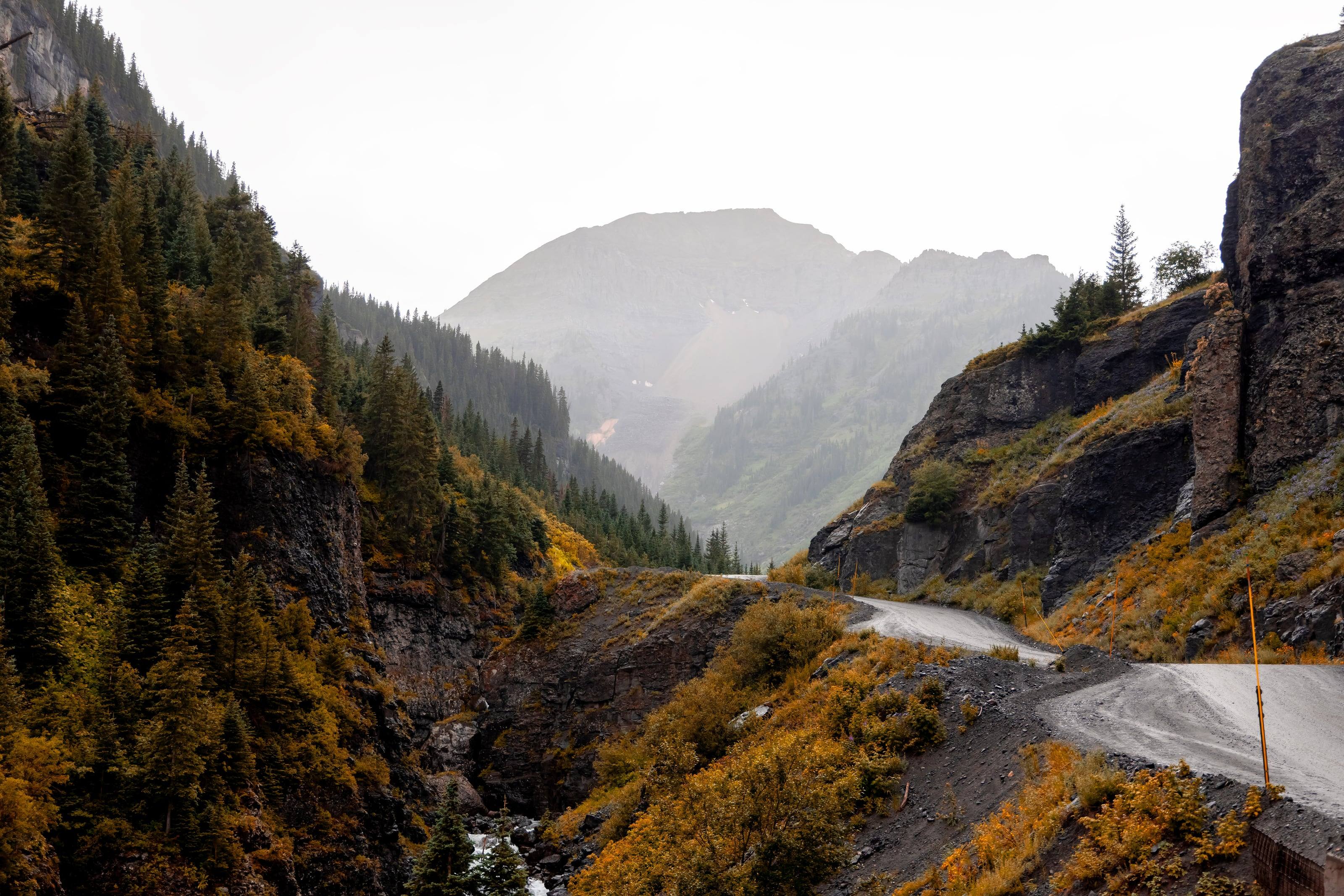
From 7 inches in the San Luis Valley to over 60 inches in a few mountain locations. Wolf Creek Pass averages close to 400 inches of snow
Acres in the Weminuche, the largest wilderness in Colorado 47
499,771
Three quarters the size of Rhode Island by the Forest Service’s comparison, and closed to every vehicle and bicycle
Sleeping on the roof in thunderstorm country
The National Weather Service in Pueblo says thunderstorms typically develop in the Colorado mountains after 11 a.m., and that a tent gives no protection from lightning while an enclosed, hard-topped vehicle does. With a roof tent that is simple to act on: when a storm builds, get down from the tent and sit inside the vehicle, and wait 30 minutes after the last thunder.
Camp below treeline when you can, and ask a dealer about cold-weather kits. Nights are cold at 9,000 feet even in July.
A roof tent gets you off the ground and sets up in minutes. It also puts weight on the highest point of the vehicle, and the rack underneath matters as much as the tent. A dealer who installs will check your roof's load ratings before anything else.
What they sell and install
01Hard-shell and soft-shell roof tents
02Awnings, annexes and insulation
03Racks and crossbars rated for the load
04Installation and removal
05Parts: covers, zippers, struts and poles
How to choose a roof tent
Open it, climb into it and close it before you buy it.
01Know your two roof numbers: the dynamic rating for driving and the static load for camping with people inside. They are different, and the rack has its own.
02Hard shells open fastest and cut through wind. Soft shells give more space for the weight and the money.
03Check the mattress, the ladder angle at your vehicle's height, and whether it closes with bedding inside.
04Ask about parts and repairs before you need them.
05Measure your garage door.
What to have ready before you ask for a quote
The roof decides what is possible.
01Vehicle, and what is on the roof or bed now
02How many people sleep in it
03The weather you camp in
04Garage height, if it lives indoors
05A budget range for the tent and the rack together
Questions people ask
Will a roof tent fit my vehicle?
Almost any vehicle can carry one with the right rack, but check the roof's dynamic load rating in the owner's manual and the rack's rating. The lower number is your limit while driving.
Hard shell or soft shell?
Hard shells are quicker, quieter in wind and better in rain and snow. Soft shells sleep more people for less money and weight, and take longer to pack. If you move camp every day, speed matters more than you expect.
Does a roof tent hurt fuel economy?
Yes, some, and you will hear it on the highway. Lower-profile tents and a fairing help. It is a trade most people accept for the sleep.
How high is Colorado?
From Grand Junction at 4,591 feet to Mount Elbert at 14,433.
Altitude decides what your engine, your brakes and your lungs have to work with, and how late in the year the passes open.
4,0006,0008,00010,00012,00014,000
Feet above sea level
Towns
LeadvilleThe city calls itself the highest incorporated city in the United States. Hagerman Pass starts here and Mosquito Pass drops in from the east.10,152 ft
SilvertonSouth end of the Million Dollar Highway. Alpine Loop access on County Road 2; Ophir Pass leaves US 550 just north of town.9,318 ft
Crested ButteAt the upper end of Highway 135, on the West Elk Loop byway.8,885 ft
TellurideAt the head of a box canyon. West end of Imogene Pass and the bottom of the one-way descent from Black Bear Pass.8,789 ft
Lake CityOn Highway 149 about 55 miles south of Gunnison. Eastern gateway to the Alpine Loop.8,671 ft
Buena VistaOn US 24 below the Collegiate Peaks. The road to St. Elmo and Tincup Pass leaves the valley at Nathrop, just to the south.7,960 ft
OurayNorth end of the Million Dollar Highway. Alpine Loop access on County Road 18, and the Ouray end of Imogene Pass.7,786 ft
GunnisonOn US 50 at the start of Highway 135 to Crested Butte. Highway 149 to Lake City leaves US 50 to the west.7,703 ft
SalidaOn US 50 beside the Arkansas River, east of Monarch Pass.7,084 ft
Steamboat SpringsOn US 40 in the Yampa Valley. The Colorado Backcountry Discovery Route passes through on its way to Wyoming.6,731 ft
DurangoWhere US 160 meets US 550 on the San Juan Skyway. US 550 climbs north from here to Silverton and Ouray.6,534 ft
Colorado SpringsOn I-25 at the foot of Pikes Peak, where US 24 heads west into the mountains.6,035 ft
MontroseWhere US 50 meets US 550. East end of the Rimrocker Trail and the gateway to Black Canyon of the Gunnison.5,809 ft
DenverState capital where I-25 meets I-70. The I-70 mountain corridor starts just west at Morrison.5,280 ft
Fort CollinsNorthern Front Range. East end of the Cache la Poudre byway up Poudre Canyon and over Cameron Pass.5,004 ft
Grand JunctionOn I-70 in far western Colorado, about 250 miles west of Denver. Kokopelli’s Trail starts at Loma, just to the west.4,591 ft
Passes, high roads and summits
Mount ElbertThe highest point in Colorado. No road to the top14,433 ft
Mount Blue Sky Scenic BywayIdaho Springs to the top of Mount Blue Sky14,130 ft
Mosquito PassAlma and Fairplay to Leadville13,182 ft
Imogene PassTelluride and Ouray13,114 ft
Black Bear PassUS 550 at Red Mountain Pass, down to Telluride12,840 ft
Engineer PassAlpine Loop Back Country Byway: Lake City, Silverton and Ouray12,800 ft
Cinnamon PassAlpine Loop, between Lake City and Animas Forks12,620 ft
Rollins PassWinter Park east to the Continental Divide. The Needle’s Eye Tunnel has collapsed, so it is no longer a through route by vehicle12,233 ft
Trail Ridge RoadEstes Park to Grand Lake12,183 ft
Courthouse MountainThe monolith above the Owl Creek Pass road, on the Cimarron Ridge12,152 ft
Webster PassMontezuma, in Summit County, south over the Divide toward Handcart Gulch12,098 ft
Independence PassCO 82 between Twin Lakes and Aspen on the Top of the Rockies byway. Paved, closed all winter, and shut to vehicles 35 feet or longer12,095 ft
Hagerman PassLeadville to Basalt, by Ruedi Reservoir11,925 ft
Ophir PassUS 550 north of Silverton to Ophir11,814 ft
Chimney RockThe other landmark of the Cimarron Ridge, seen from the same drive11,781 ft
Boreas PassBreckenridge to Como, over the Continental Divide11,488 ft
Cameron PassWhere the Cache la Poudre to North Park byway crosses out of the Poudre canyon beside State Forest State Park10,276 ft
Owl Creek Pass RoadThe Cimarron Ridge country, on the Ouray Ranger District of the Uncompahgre National Forest10,114 ft
Medano Pass Primitive RoadGreat Sand Dunes to the Wet Mountain Valley and Highway 6910,040 ft
Last Dollar RoadRidgway and Telluride, west of CO 62 and CO 14510,000 ft
Pass, road and summit elevations are the figures published by the agency that manages them. Town elevations are the town’s or county’s own
figure where it publishes an exact one; the rest are from the U.S. Geological Survey (3D Elevation Program at the place’s official coordinates),
retrieved September 18, 2026. Every source is listed at the foot of the page.
Free build quotes
Looking for roof tent dealers in Colorado? Tell us about the project and get free quotes.