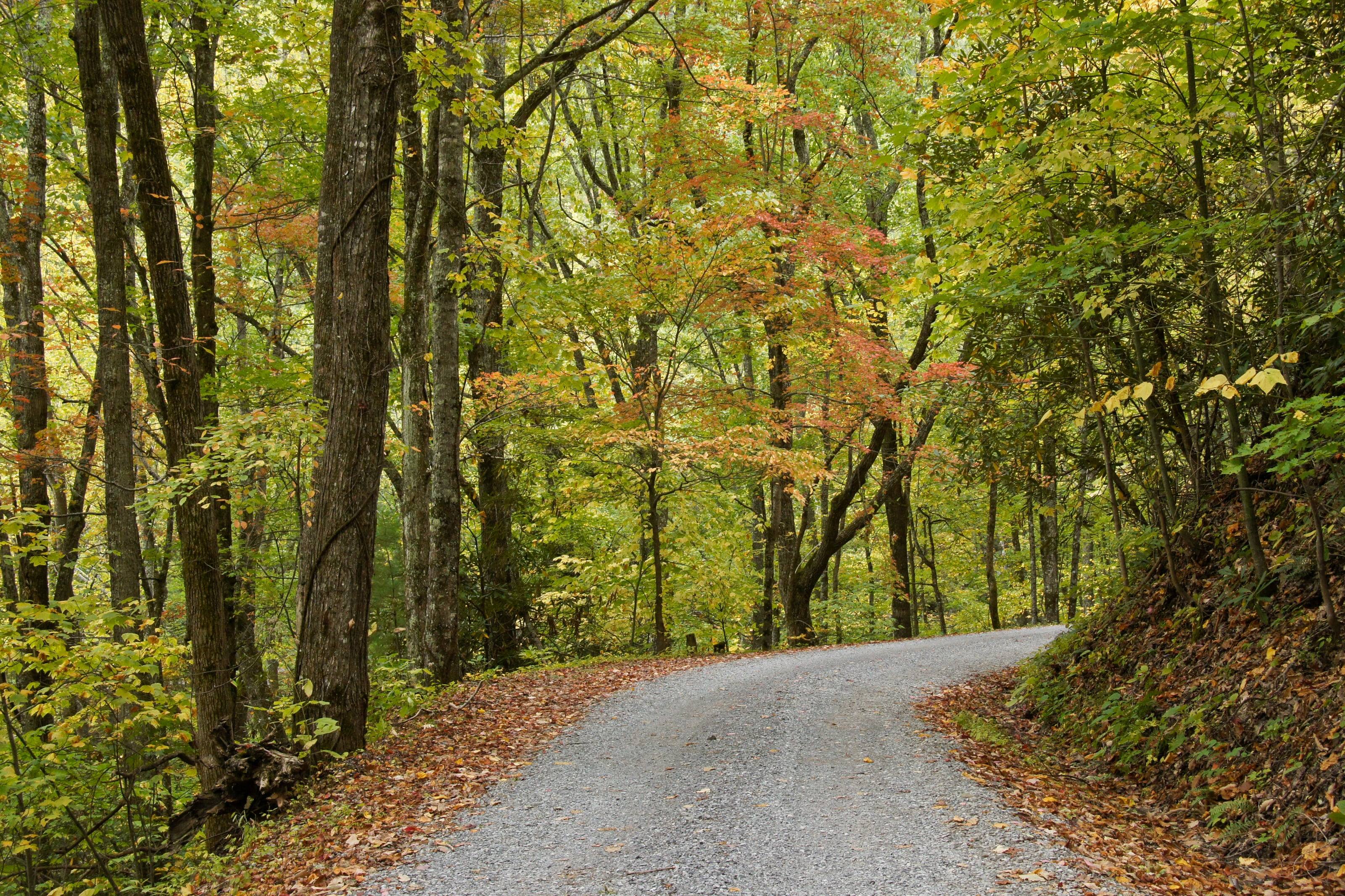
A one-lane gravel road under autumn hardwoods in the Great Smoky Mountains.

The Overland Directory

Adventure lodging in West Virginia

Lodges, cabins, motels and ranches near the dirt, for the night you want a shower, a bed and someone else's cooking.

Rich Mountain Road, Great Smoky Mountains National Park, Tennessee

We’re working on adding the latest places to stay in West Virginia here.

Run a lodge, a ranch or a motel that looks after people arriving dusty? Tell us about it.

West Virginia by the numbers

Acres of federal land 1
1.14M
7.4 percent of West Virginia. The BLM holds none of it, and the national BLM route layer has no West Virginia records
Spruce Knob, the highest point in West Virginia 3
4,863 ft
Pendleton County, on the Monongahela National Forest. The low point is 240 feet on the Potomac River in Jefferson County
Mean elevation 4
1,500 ft
The USGS figure. NOAA calls it the highest average elevation east of the Mississippi River
Acres of the Monongahela National Forest 7
919,000+
Across 10 counties. The forest home page rounds the same land to nearly a million, and the CRS puts all Forest Service land in the state at 1,047,859 acres
Acres in the Cranberry Wilderness 15
47,815
The largest Forest Service wilderness in the eastern United States. Eight wilderness areas on the Monongahela cover 115,000 acres, all of them closed to vehicles
Federal campgrounds a vehicle can reach 2
47
34 Forest Service, 11 Corps of Engineers and two Park Service, of which 33 take bookings. New River Gorge counts eight free primitive campgrounds of its own
Miles of public road in West Virginia 41
38,844 mi
34,940 state owned, 2,990 municipal and 914 federal, on the 2024 Public Certified Mileage
Average yearly snowfall in the mountains 51
100 in
NOAA calls it some of the highest east of the Mississippi. The Charleston weather office gives a range of 30 to 150 inches for the high country

A bed at the foot of the mountain

The highlands put rooms close to the ground worth driving. Davis and Canaan Valley sit at the north end of the Canaan Loop Road and near Dolly Sods, Seneca Rocks sits inside the 100,000-acre national recreation area below Spruce Knob, Marlinton and Richwood hold the two ends of the Highland Scenic Highway, and Fayetteville sits on the rim of the New River Gorge.

West Virginia state parks add 36 sites with cabins and lodges, plus nine state forests, which is the fallback when winter closes the high roads.

The full guide to overlanding West Virginia

When a roof is the right call

Nobody plans a trip around motels, and almost every long trip uses a few. After a week of wind, when the weather turns, while the truck is in a shop, or when the people you travel with have simply earned a hot shower.

What makes lodging work for overlanders

It comes down to parking and attitude.

  1. 01Room to park tall and long vehicles, and trailers without unhitching
  2. 02Parking you can see from the room, or that is lit
  3. 03Late arrivals and early breakfasts
  4. 04A hose, a laundry, and no fuss about dust
  5. 05Staff who know the local roads and what is open

Before you book

Call rather than click when you have a big vehicle.

  1. 01Ask about parking for your height and length.
  2. 02Ask about the access road in wet weather.
  3. 03Ask about pets, and about leaving gear on the vehicle.

Questions people ask

Will my rig fit?

Ask before you book. Roof tents, campers and high-roof vans do not fit many parking garages, and trailers need pull-through space. Small-town motels and lodges are usually easier than city hotels.

Is it safe to leave gear on the vehicle?

Use judgment, park where you can see the vehicle or under lights, and bring in what you cannot replace. Ask the front desk where they would park it.

How high is West Virginia?

From Harpers Ferry at 490 feet to Spruce Knob at 4,863. Altitude decides what your engine, your brakes and your lungs have to work with, and how late in the year the passes open.

Towns

  1. Davis On WV 32 in Tucker County. Forest Road 13, the Canaan Loop Road, leaves WV 32 a few miles south and works around Canaan Mountain. 3,097 ft
  2. Beckley Where I-64, I-77 and US 19 meet. The Coal Heritage Trail runs south from here through the coalfields. 2,420 ft
  3. Richwood Western end of the Highland Scenic Highway at 2,325 feet, and the road town for the Cranberry River and the Cranberry Wilderness. 2,203 ft
  4. Marlinton On US 219 in Pocahontas County, near the eastern end of the Highland Scenic Highway and the Gaudineer road off US 250. 2,125 ft
  5. Lewisburg On I-64 and US 219 in the Greenbrier Valley, at the southern end of the Monongahela and the eastern end of the Midland Trail. 2,077 ft
  6. Elkins Where US 219, US 33 and US 250 meet on the western side of the Monongahela National Forest. Bickle Knob and the Otter Creek Wilderness sit east of town. 1,928 ft
  7. Summersville On US 19 beside the Corps of Engineers lake, between the Gauley River canyon and the Cranberry country. 1,878 ft
  8. Fayetteville On US 19 at the New River Gorge Bridge. Fayette Station Road drops into the gorge and climbs the far side from here. 1,815 ft
  9. Parsons On US 219 at the Cheat River, the northern approach to the Otter Creek Wilderness and to Dolly Sods by way of Laneville. 1,647 ft
  10. Seneca Rocks At the junction of US 33 and WV 28/55 under the rocks themselves, inside the Spruce Knob-Seneca Rocks National Recreation Area. 1,567 ft
  11. Petersburg On WV 28/55 in Grant County. Smoke Hole Road and the eastern approach to Dolly Sods by Jordan Run both leave from here. 934 ft
  12. Morgantown On I-79 and I-68 in the north. Coopers Rock State Forest is less than 15 miles east, with more than 50 miles of trail. 888 ft
  13. Gilbert Mingo County town among the southern Hatfield-McCoy systems, where a trail permit matters more than a map of pavement. 837 ft
  14. Logan County seat in the southern coalfields, in the part of the state the Hatfield-McCoy trail systems were built across. 675 ft
  15. Charleston State capital where I-64, I-77 and I-79 meet, at the western end of the Midland Trail. Kanawha State Forest is seven miles out. 596 ft
  16. Harpers Ferry Eastern Panhandle, where the Shenandoah meets the Potomac near the 240-foot state low point, on the Washington Heritage Trail. 490 ft

Passes, high roads and summits

  1. Spruce Knob The highest point in West Virginia, with a gravel forest road to a parking area below a stone and steel observation tower 4,863 ft
  2. Forest Roads 112 and 104 to Spruce Knob Forest Road 112 to the Forest Road 104 junction, then up to the summit parking area 4,863 ft
  3. Mount Porte Crayon A Randolph County summit above the Roaring Plains country. No agency publishes an elevation for it, so this is our own reading of the 3DEP surface at the USGS point 4,770 ft
  4. Gaudineer Knob The high ground of Shavers Mountain above the Gaudineer Scenic Area, reached by Forest Road 27. Our own 3DEP reading, because the forest page states no elevation 4,447 ft
  5. Forest Road 27 to the Gaudineer Scenic Area Durbin west on US 250 for four miles, then north on Forest Service Road 27 4,447 ft
  6. Bickle Knob The knob east of Elkins on the forest road network above the Cheat River. Our own 3DEP reading 4,002 ft

Pass, road and summit elevations are the figures published by the agency that manages them. Town elevations are the town’s or county’s own figure where it publishes an exact one; the rest are from the U.S. Geological Survey (3D Elevation Program at the place’s official coordinates), retrieved September 18, 2026. Every source is listed at the foot of the page.
Sources for this page

59
  1. Congressional Research Service. Federal Land Ownership: Overview and Data (R42346), Tables 1 and 2. Retrieved September 18, 2026.
  2. Recreation.gov. Recreation Information Database (RIDB) full export. Retrieved September 19, 2026.
  3. U.S. Geological Survey. Elevations and Distances in the United States, online edition, Highest and Lowest Elevations table. Retrieved September 19, 2026.
  4. U.S. Census Bureau, from U.S. Geological Survey data. Statistical Abstract of the United States: 2012, Table 366. Extreme and Mean Elevations by State. Retrieved September 19, 2026.
  5. U.S. Geological Survey. Geographic Names Information System and 3D Elevation Program point query. Elevation of the 3DEP surface at the GNIS coordinates of the named place, rounded to the nearest foot. Retrieved September 19, 2026.
  6. USDA Forest Service, Monongahela National Forest. Monongahela National Forest home. Retrieved September 19, 2026.
  7. USDA Forest Service, Monongahela National Forest. About the Area. Retrieved September 19, 2026.
  8. USDA Forest Service, Monongahela National Forest. Recreation, which counts the forest’s eight wilderness areas. Retrieved September 19, 2026.
  9. USDA Forest Service, Monongahela National Forest. Wilderness. Retrieved September 19, 2026.
  10. USDA Forest Service, Monongahela National Forest. Highland Scenic Highway. Retrieved September 19, 2026.
  11. USDA Forest Service, Monongahela National Forest. Spruce Knob and Spruce Knob Observation Tower. Retrieved September 19, 2026.
  12. USDA Forest Service, Monongahela National Forest. Spruce Knob-Seneca Rocks National Recreation Area. Retrieved September 19, 2026.
  13. USDA Forest Service, Monongahela National Forest. Dolly Sods Wilderness. Retrieved September 19, 2026.
  14. USDA Forest Service, Monongahela National Forest. Dolly Sods Wilderness and Scenic Areas closure order. Retrieved September 19, 2026.
  15. USDA Forest Service, Monongahela National Forest. Cranberry Wilderness. Retrieved September 19, 2026.
  16. USDA Forest Service, Monongahela National Forest. Cranberry River Corridor. Retrieved September 19, 2026.
  17. USDA Forest Service, Monongahela National Forest. Otter Creek Wilderness. Retrieved September 19, 2026.
  18. USDA Forest Service, Monongahela National Forest. Canaan Mountain Backcountry, with Forest Road 13, the Canaan Loop Road. Retrieved September 19, 2026.
  19. USDA Forest Service, Monongahela National Forest. Smoke Hole Canyon. Retrieved September 19, 2026.
  20. USDA Forest Service, Monongahela National Forest. Williams River. Retrieved September 19, 2026.
  21. USDA Forest Service, Monongahela National Forest. Gaudineer Scenic Area. Retrieved September 19, 2026.
  22. USDA Forest Service, Monongahela National Forest. Motor Vehicle Use Restrictions, Forest Supervisor’s order. Retrieved September 19, 2026.
  23. USDA Forest Service, Monongahela National Forest. Licensed Off-Highway Vehicle Use Restrictions, order 09-21-25-02. Retrieved September 19, 2026.
  24. USDA Forest Service, Monongahela National Forest. General Use Restrictions, which set the camping stay limits. Retrieved September 19, 2026.
  25. USDA Forest Service, Monongahela National Forest. Food Storage Restrictions. Retrieved September 19, 2026.
  26. USDA Forest Service, Monongahela National Forest. Gandy Creek Dispersed Area order. Retrieved September 19, 2026.
  27. USDA Forest Service, Monongahela National Forest. Visitor Maps and Guides, including the Motor Vehicle Use Maps. Retrieved September 19, 2026.
  28. USDA Forest Service, Monongahela National Forest. Camping and Cabins. Retrieved September 19, 2026.
  29. National Park Service, New River Gorge National Park and Preserve. Basic Information. Retrieved September 19, 2026.
  30. National Park Service, New River Gorge National Park and Preserve. Camping. Retrieved September 19, 2026.
  31. National Park Service, New River Gorge National Park and Preserve. Fayette Station Road. Retrieved September 19, 2026.
  32. National Park Service, New River Gorge National Park and Preserve. Tips for RVs. Retrieved September 19, 2026.
  33. National Park Service, New River Gorge National Park and Preserve. Hunting. Retrieved September 19, 2026.
  34. U.S. Fish and Wildlife Service. Canaan Valley National Wildlife Refuge, About Us. Retrieved September 19, 2026.
  35. U.S. Army Corps of Engineers. Corps Lakes Gateway, West Virginia projects. Retrieved September 19, 2026.
  36. West Virginia Division of Natural Resources. West Virginia State Parks. Retrieved September 19, 2026.
  37. West Virginia Division of Natural Resources. West Virginia State Park Rules and Regulations. Retrieved September 19, 2026.
  38. West Virginia Division of Natural Resources. Wildlife Management Areas. Retrieved September 19, 2026.
  39. West Virginia Division of Natural Resources. Wildlife Management Area Rules and Regulations. Retrieved September 19, 2026.
  40. West Virginia Division of Forestry. Fire Laws, including the burning seasons and hours. Retrieved September 19, 2026.
  41. West Virginia Department of Transportation. Division of Highways, 2024 Public Certified Mileage. Retrieved September 19, 2026.
  42. West Virginia Legislature. West Virginia Code 17C-15-37, tires, tire chains and studded tires. Retrieved September 19, 2026.
  43. West Virginia Legislature. West Virginia Code 17A-3-2, registration exemption and certificate of title for ATVs and UTVs. Retrieved September 19, 2026.
  44. West Virginia Legislature. West Virginia Code 17F-1-1, where all-terrain vehicles may be operated. Retrieved September 19, 2026.
  45. West Virginia Division of Motor Vehicles. Special Purpose Vehicles. Retrieved September 19, 2026.
  46. West Virginia Legislature. West Virginia Code 20-14-8, user permit required on the Hatfield-McCoy Recreation Area. Retrieved September 19, 2026.
  47. Hatfield-McCoy Regional Recreation Authority. Trail Rules and Regulations. Retrieved September 19, 2026.
  48. Hatfield-McCoy Regional Recreation Authority. Choose a Trail, the thirteen trail systems. Retrieved September 19, 2026.
  49. Hatfield-McCoy Regional Recreation Authority. Hatfield-McCoy Trails home. Retrieved September 19, 2026.
  50. Hatfield-McCoy Regional Recreation Authority. 2026 Trail Permit Fee Adjustment. Retrieved September 19, 2026.
  51. NOAA National Centers for Environmental Information. State Climate Summaries 2022, West Virginia. Retrieved September 19, 2026.
  52. NOAA National Weather Service, Charleston, West Virginia. Snowfall Climatology. Retrieved September 19, 2026.
  53. Federal Highway Administration. America’s Byways, West Virginia. Retrieved September 19, 2026.
  54. Federal Highway Administration. America’s Byways, Coal Heritage Trail. Retrieved September 19, 2026.
  55. Federal Highway Administration. America’s Byways, Midland Trail. Retrieved September 19, 2026.
  56. Federal Highway Administration. America’s Byways, Staunton-Parkersburg Turnpike. Retrieved September 19, 2026.
  57. Federal Highway Administration. America’s Byways, Washington Heritage Trail. Retrieved September 19, 2026.
  58. West Virginia State Parks. Coopers Rock State Forest. Retrieved September 19, 2026.
  59. West Virginia State Parks. Kanawha State Forest. Retrieved September 19, 2026.

Reviewed September 19, 2026. Conditions, closures and rules change; check with the managing agency before you travel.