More than any other state east of the Mississippi, and fourth most in the country
Suspension for gravel, washboard and long grades
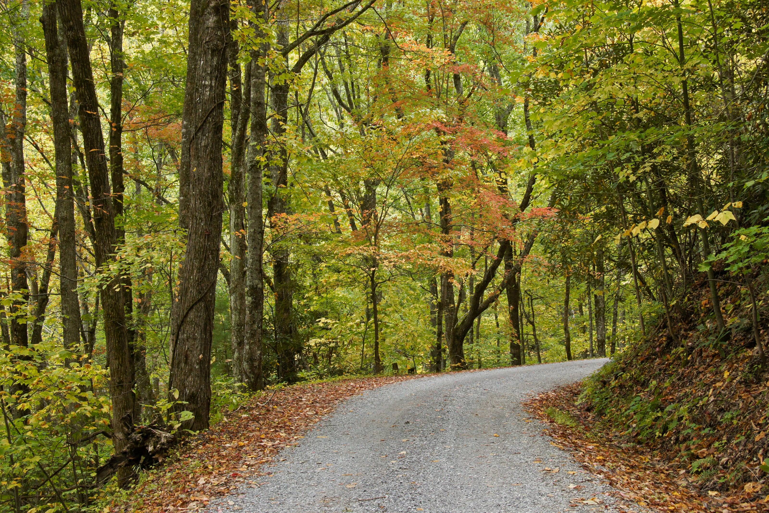
The work in Tennessee is sustained gravel at moderate speed, not slow crawling. Forest Road 230 over Unaka Mountain, Forest Road 210 up the Tellico and the adjacent-area roads at Big South Fork are all long, loose and rutted after rain, which is why Big South Fork caps every gravel and logging road at 25 miles per hour.
Pair that with grade. Newfound Gap Road climbs to 5,046 feet and the Kuwohi spur reaches 6,643, so a loaded vehicle spends real time on descent. Damping that survives a long washboard descent matters more than lift height on any road in this state.
A suspension shop matches spring rates and shock valving to the vehicle's real loaded weight, corrects the geometry that a lift changes, and aligns it afterward. On an overland vehicle the goal is control and durability under constant load, not maximum height.
The work usually includes
01Coil and leaf springs rated for the load
02Shocks: monotube, remote reservoir or adjustable
03Control arms, track bars, driveline and brake line corrections
04Air bags or helper springs for heavy rear loads
05Alignment after the work
06Advice on gearing when tire size goes up
How to choose a suspension shop
The right shop asks about weight before it asks about height.
01Weigh the vehicle loaded, or ask the shop to. Choosing springs without a weight is a guess.
02Ask what else the lift changes on your platform: alignment range, driveline angles, brake lines, headlight aim and driver-assistance sensors.
03Ask whether they align in house.
04Ask for the least height that clears your tires and keeps the geometry happy. More lift is not better.
05Ask how it will ride at both ends of your use: empty around town and loaded on washboard.
What to have ready before you ask for a quote
Weight is the number that matters.
01Year, model and drivetrain
02Current tire size and the size you want to run
03Everything bolted on: bumper, winch, rack, tent, drawers, water
04Loaded weight, if you have been across a scale
05How you use it, and a budget range
Questions people ask
How much lift do I need?
Less than you think. Most overland travel is dirt roads, washboard and the occasional ledge, and the vehicle spends its life loaded. Enough lift to clear a sensible all-terrain tire, with springs rated for your weight, usually drives better and breaks less than a tall kit.
Why does my truck sag in the back?
Because the factory springs were chosen for an empty truck. Drawers, a fridge, water, a tent and a rear bumper add constant weight. The fix is springs rated for that constant load, sometimes with air bags for the occasional heavy trip.
Do bigger tires mean I need new gears?
Larger tires make the engine and transmission work harder and change the speedometer reading. Whether re-gearing is worth it depends on the tire size, the vehicle and how much weight you carry. A shop that knows your platform can tell you where the line is.
How high is Tennessee?
From Nashville at 555 feet to Kuwohi (Clingmans Dome) at 6,643.
Altitude decides what your engine, your brakes and your lungs have to work with, and how late in the year the passes open.
02,0004,0006,000
Feet above sea level
Towns
Mountain CityJohnson County seat in the far northeast on TN 91 and US 421, within a few miles of both Virginia and North Carolina.2,420 ft
CrossvilleOn I-40 at the top of the Cumberland Plateau, the halfway service stop between Nashville and Knoxville.1,857 ft
DucktownCopper Basin town on TN 68 at the east end of the Ocoee Scenic Byway, near the Georgia and North Carolina lines.1,740 ft
JamestownOn US 127 on the plateau, between Big South Fork and the Obey River country.1,714 ft
ErwinOn I-26 beside the Nolichucky. Start of the Unaka Mountain circle on TN 395 and gravel Forest Road 230.1,669 ft
ElizabethtonCarter County seat on the Watauga River. TN 143 climbs from here through Roan Mountain to Carvers Gap.1,527 ft
OneidaScott County town on US 27 and the eastern approach to Big South Fork and its Bandy Creek side.1,443 ft
WartburgMorgan County seat between the Obed Wild and Scenic River and Frozen Head, on the plateau north of I-40.1,380 ft
GatlinburgNorth gateway to Great Smoky Mountains National Park. Newfound Gap Road and the Roaring Fork Motor Nature Trail both start here.1,290 ft
LaFolletteCampbell County town on US 25W below the Cumberland Mountains, under the Sundquist Unit of the North Cumberland WMA.1,073 ft
TownsendThe Blount County entrance to the park. Cades Cove, Rich Mountain Road and Parson Branch Road are all reached from this side.1,070 ft
KnoxvilleWhere I-40 meets I-75. The last large city before the Smokies, the Cherokee National Forest and the Cumberland Mountains.899 ft
LawrenceburgOn US 43 in the middle of the Tennessee stretch of the Natchez Trace Parkway, and the last real service town for many miles of it.894 ft
Tellico PlainsWest end of the Cherohala Skyway and the turn onto Forest Road 210 up the Tellico River.875 ft
ChattanoogaWhere I-75 meets I-24 at the foot of the Cumberland Plateau. Nearest city to the Ocoee gorge and the Sequatchie Valley.676 ft
NashvilleState capital where I-40, I-65 and I-24 meet. The Natchez Trace Parkway ends just southwest of the city.555 ft
Passes, high roads and summits
Kuwohi (Clingmans Dome)The highest point in Tennessee. A paved seasonal road runs to the parking area below the summit6,643 ft
KuwohiKuwohi Road: Newfound Gap Road to the Kuwohi visitor center and overlook6,643 ft
Mount Le ConteNo road to it. The Park Service says readings above 80 degrees up here are extremely rare6,593 ft
Roan High KnobCarter County, above Carvers Gap. Our own measurement at the USGS point, not an agency figure6,282 ft
Carvers GapTN 143 to Carvers Gap: Roan Mountain up through Roan Mountain State Park to the state line5,512 ft
Unaka Mountain Scenic Drive (Forest Road 230)A circle from Erwin on TN 395, Forest Road 230 and TN 1075,168 ft
Newfound Gap Road (US 441)Gatlinburg to Cherokee, North Carolina5,046 ft
Big Frog MountainPolk County, in the southern Cherokee National Forest. Our own measurement at the USGS point4,210 ft
Rich Mountain RoadCades Cove out to Tuckaleechee Cove and Townsend3,692 ft
Pass, road and summit elevations are the figures published by the agency that manages them. Town elevations are the town’s or county’s own
figure where it publishes an exact one; the rest are from the U.S. Geological Survey (3D Elevation Program at the place’s official coordinates),
retrieved September 18, 2026. Every source is listed at the foot of the page.
Free build quotes
Looking for suspension shops in Tennessee? Tell us about the project and get free quotes.