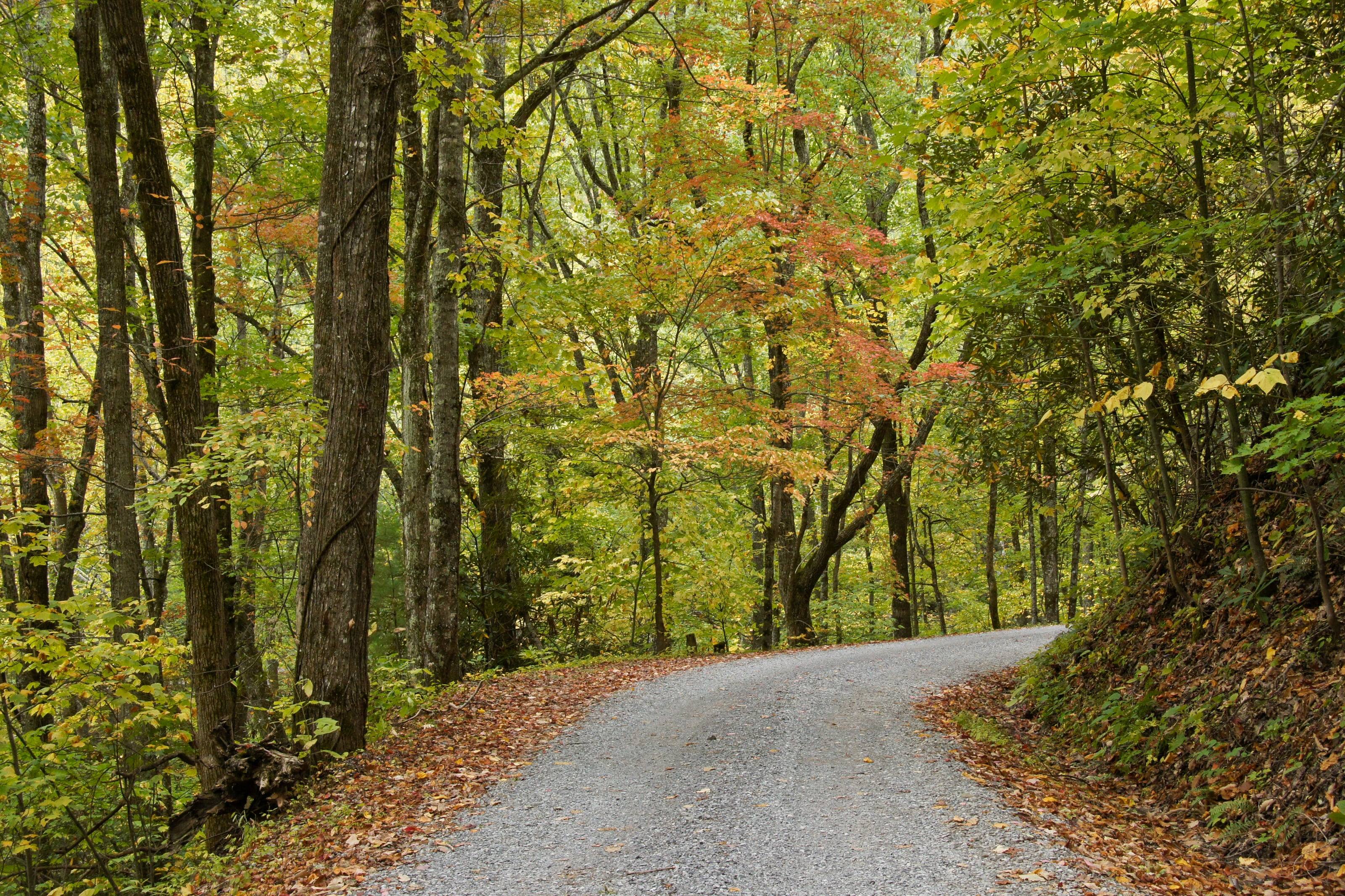
Five of them carry a federal designation: the Blue Ridge Parkway and Newfound Gap Road as All-American Roads, plus the Cherohala Skyway, Forest Heritage and Outer Banks routes
Acres in the Uwharrie, the only motorized trail system in the Piedmont 14
53,011
Approximately, across Montgomery, Randolph and Davidson counties. The forest’s About the Area page gives 51,546
Public and private land the Wildlife Resources Commission manages for hunting, trapping, fishing and other wildlife-associated recreation
What to carry in North Carolina
Four items are not optional on Cape Hatteras sand, because the permit lists them: a low-pressure tire gauge, a shovel, a jack and a jack support board. Add a compressor, since both seashores want you under or at 20 psi and you have to reinflate before pavement.
For the mountains, carry the current closure orders as well as a map. The Forest Service is still posting Helene repairs on the Pisgah and Nantahala, and a good outfitter here will ask which district you are heading for before selling you anything.
An outfitter is the difference between reading reviews and opening the tent yourself. The good ones stock what works, install what they sell, and will tell you what they took off their own trucks.
What they carry
01Roof tents, awnings and shelter
02Fridges, kitchens and water systems
03Racks, drawers and storage
04Recovery gear and compressors
05Power stations, batteries and lighting
How to choose an outfitter
Look for people who use what they sell.
01Ask whether they install what they sell, and whether the installer is on staff.
02Ask what they run on their own vehicles, and what they stopped running.
03Compare weight as well as price. It all rides on your suspension.
04Ask about returns and exchanges on large items such as tents and fridges.
05Check that they know your vehicle. Fitment is where online orders go wrong.
What to have ready before you ask for a quote
Dimensions prevent returns.
01Vehicle, and rack or bed dimensions if you know them
02How many people travel and sleep
03The kind of trips you take, and how long
04What you already own
05A budget range
Questions people ask
What gear should I buy first?
A way to sleep well, a way to keep food cold, water storage and basic recovery gear. Everything else can wait until a few trips show you what you miss.
Is it worth buying from a local outfitter instead of online?
For anything that has to fit your vehicle or be installed, yes. Fitment mistakes on racks, tents and fridges are expensive to ship back, and an installer who sold you the part will stand behind the install.
Can I try before I buy?
Some outfitters rent roof tents, fridges and even vehicles. Say so in the form if that is what you are after.
How high is North Carolina?
From Nags Head at 5 feet to Mount Mitchell at 6,684.
Altitude decides what your engine, your brakes and your lungs have to work with, and how late in the year the passes open.
02,0004,0006,000
Feet above sea level
Towns
BooneWatauga County town on US 321 and US 421, the highest of the sixteen towns here, near the Parkway around Grandfather Mountain and Price Lake.3,218 ft
BurnsvilleYancey County seat and the mailing town for Mount Mitchell State Park on NC 128. Last services before the Black Mountains.2,823 ft
WaynesvilleHaywood County seat on US 23 and US 276, between the Parkway’s high Balsams section and the Cataloochee side of the national park.2,748 ft
BrevardTransylvania County seat at the foot of the Pisgah Ranger District. The Forest Heritage byway and the Davidson River corridor both start from US 276 just north of town.2,225 ft
AshevilleWhere I-40 meets I-26 beside the Blue Ridge Parkway. The Parkway drops to 35 miles per hour through the corridor here, and the Pisgah National Forest supervisor’s office is in town.2,128 ft
FranklinMacon County seat and home of the Nantahala Ranger District office. Wayah Road and Forest Service Road 69 to the Wayah Bald tower leave from the west side.2,121 ft
RobbinsvilleGraham County seat and the North Carolina end of the Cherohala Skyway. Joyce Kilmer Memorial Forest and the Cheoah district office are both close by.2,044 ft
CherokeeMilepost 469, the southern end of the Blue Ridge Parkway, and the North Carolina entrance to Great Smoky Mountains National Park on US 441.1,981 ft
Bryson CitySwain County seat on US 19 at the Nantahala Gorge end. Deep Creek and the Lakeview Drive side of the national park are reached from here.1,732 ft
MurphyFar southwestern corner on US 64 and US 19, with the Tusquitee Ranger District office. The Nantahala’s lowest ground, on the Hiwassee River, is in this county.1,597 ft
MorgantonBurke County seat on I-40 below Linville Gorge. The usual fuel and supply stop for the Brown Mountain OHV trail system and the Wilson Creek country.1,159 ft
TroyMontgomery County seat and the site of the Uwharrie ranger district office. The Badin Lake OHV trail complex is reached from here.657 ft
BeaufortCarteret County seat across the water from Shackleford Banks. The Harkers Island visitor centre and the Core Banks vehicle ferries are a short drive east.10 ft
BuxtonHatteras Island village at the elbow of the cape, beside the Cape Point ramps and the seashore’s busiest beach driving routes.10 ft
New BernCraven County seat at the head of the Neuse River estuary and the northern gateway to the Croatan National Forest.10 ft
Nags HeadNorthern Outer Banks town on NC 12 where the Outer Banks Scenic Byway begins. The last full-service stop before Hatteras Island.5 ft
Passes, high roads and summits
Mount MitchellThe highest point east of the Mississippi River. A paved state road, NC 128, reaches a parking area just below the summit6,684 ft
Kuwohi RoadNewfound Gap on US 441 west along the state line ridge to the Kuwohi parking area6,644 ft
Richland BalsamHaywood County, above the Parkway’s high stretch through the Balsams. Our own measurement at the USGS point6,408 ft
Waterrock KnobHaywood County. Its access road off the Parkway is one of the two places the compendium drops the speed limit to 256,290 ft
Black Balsam KnobHaywood County, in the Shining Rock country above the Forest Heritage byway. Our own measurement at the USGS point6,209 ft
Grandfather MountainAvery County, beside the Parkway at the Linn Cove Viaduct. Our own measurement at the USGS point5,919 ft
Wayah Bald Road, Forest Service Road 69Wayah Road west of Franklin up to the Wayah Bald tower5,342 ft
Cheoah BaldSwain County, above the Nantahala Gorge. Measured by us on the elevation surface, since no agency publishes a figure for it5,054 ft
Max Patch MountainMadison County, against the Tennessee line in the Harmon Den area. Camping and fires are prohibited here4,627 ft
Brown Mountain OHV Trail SystemThe Grandfather Ranger District above Morganton and Collettsville2,741 ft
Pass, road and summit elevations are the figures published by the agency that manages them. Town elevations are the town’s or county’s own
figure where it publishes an exact one; the rest are from the U.S. Geological Survey (3D Elevation Program at the place’s official coordinates),
retrieved September 18, 2026. Every source is listed at the foot of the page.
Free build quotes
Looking for overland outfitters in North Carolina? Tell us about the project and get free quotes.