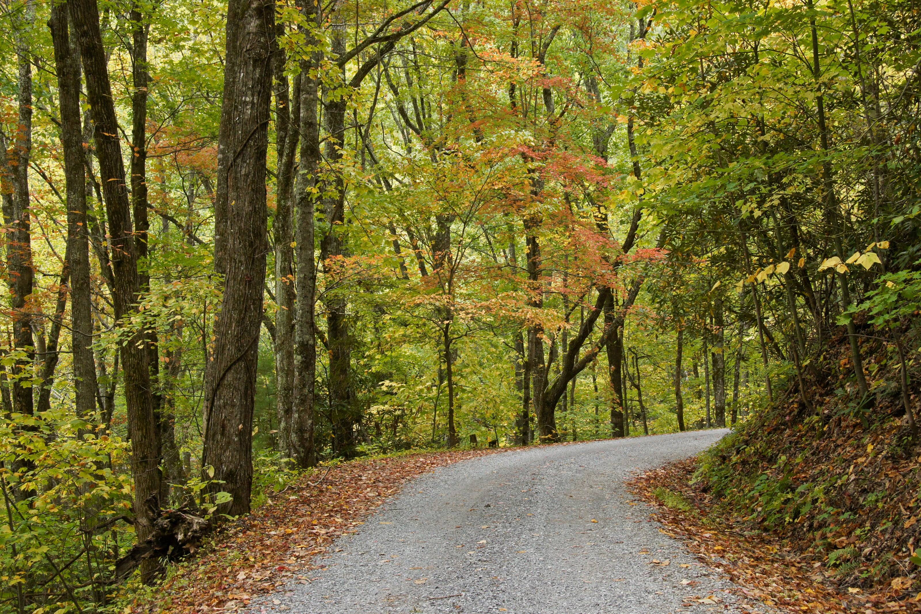
About 38 inches in the northeast, around 58 in the southeast. Since 2011 the state has run 7.4 inches above average
Sleeping on the roof in cliff country
Kentucky puts a hard geometry on where you may pitch. On the Daniel Boone you may not camp within 100 feet of the base of any cliff or the back of any rock shelter, and inside the Red River Gorge you must be 300 feet from any developed road, parking lot or official trail, and 300 feet back from the water at the three big lakes.
Then buy for rain. The state runs 38 to 58 inches a year and averages about 24 tornadoes. Ask a dealer about the fly, the annex and how fast the tent packs away wet.
A roof tent gets you off the ground and sets up in minutes. It also puts weight on the highest point of the vehicle, and the rack underneath matters as much as the tent. A dealer who installs will check your roof's load ratings before anything else.
What they sell and install
01Hard-shell and soft-shell roof tents
02Awnings, annexes and insulation
03Racks and crossbars rated for the load
04Installation and removal
05Parts: covers, zippers, struts and poles
How to choose a roof tent
Open it, climb into it and close it before you buy it.
01Know your two roof numbers: the dynamic rating for driving and the static load for camping with people inside. They are different, and the rack has its own.
02Hard shells open fastest and cut through wind. Soft shells give more space for the weight and the money.
03Check the mattress, the ladder angle at your vehicle's height, and whether it closes with bedding inside.
04Ask about parts and repairs before you need them.
05Measure your garage door.
What to have ready before you ask for a quote
The roof decides what is possible.
01Vehicle, and what is on the roof or bed now
02How many people sleep in it
03The weather you camp in
04Garage height, if it lives indoors
05A budget range for the tent and the rack together
Questions people ask
Will a roof tent fit my vehicle?
Almost any vehicle can carry one with the right rack, but check the roof's dynamic load rating in the owner's manual and the rack's rating. The lower number is your limit while driving.
Hard shell or soft shell?
Hard shells are quicker, quieter in wind and better in rain and snow. Soft shells sleep more people for less money and weight, and take longer to pack. If you move camp every day, speed matters more than you expect.
Does a roof tent hurt fuel economy?
Yes, some, and you will hear it on the highway. Lower-profile tents and a fairing help. It is a trade most people accept for the sleep.
How high is Kentucky?
From Paducah at 340 feet to Black Mountain at 4,145.
Altitude decides what your engine, your brakes and your lungs have to work with, and how late in the year the passes open.
02,0004,000
Feet above sea level
Towns
Whitley CityStearns Ranger District office on US 27, more than 171,000 acres, and the Kentucky approach to Big South Fork and Blue Heron.1,361 ft
LondonLondon Ranger District office on I-75, 208,044 acres of it, the largest of the four. Laurel River Lake and the White Sulphur OHV trail are both close.1,241 ft
HarlanBelow Black Mountain, at 4,145 feet the highest ground in Kentucky and the elevation the Geological Survey records as the figure before mining.1,186 ft
MiddlesboroHeadquarters town for Cumberland Gap National Historical Park, at the Kentucky mouth of the 0.9-mile US 25E tunnel.1,142 ft
CorbinOn I-75 below Laurel River Lake, the highway town for the southern end of the London Ranger District and the Cumberland River.1,081 ft
WinchesterSupervisor’s office for the Daniel Boone National Forest, at the eastern edge of the Bluegrass. The sensible place to have the vehicle looked at before anything else.991 ft
SomersetOn US 27 at Lake Cumberland, the Corps of Engineers reservoir whose backwaters form the downstream end of both Kentucky Wild River sections.977 ft
LexingtonWhere I-64 meets I-75. The nearest full-service city to the Cumberland Ranger District and the gorge country.969 ft
HazardOn the North Fork of the Kentucky River in the Eastern Kentucky Coal Field. Perry is one of the six counties the Redbird district covers.939 ft
ManchesterClay County seat and the nearest services to the Redbird Ranger District office at Big Creek, which runs the Redbird Crest Trail.864 ft
MoreheadCumberland Ranger District office, and the town for Cave Run Lake. The Zilpo byway runs 11 miles out to a peninsula on the south shore.734 ft
StantonWest end of the Red River Gorge Scenic Byway on KY 11, and the mailing town for the Gladie Visitor Center.677 ft
Cave CityI-65 Exit 53 and KY 70, the northern approach to Mammoth Cave and its 400 miles of surveyed passage.639 ft
CadizTrigg County seat on US 68, the eastern approach to Land Between the Lakes across Lake Barkley.426 ft
Grand RiversNorth end of the Woodlands Trace National Scenic Byway, which runs 43 miles from here to Dover, Tennessee.385 ft
PaducahWhere I-24 meets the Ohio River. The last city with full service before Land Between the Lakes from the west.340 ft
Passes, high roads and summits
Black MountainThe highest point in Kentucky, in Harlan County. The Geological Survey gives 4,145 feet as the elevation before mining; our own reading of the elevation surface at its map point is 4,1324,145 ft
Pine MountainA 125-mile ridge from southwest of Jellico, Tennessee to Elkhorn City. The Geological Survey puts it at 3,200 feet in Letcher County3,200 ft
Pinnacle OverlookAbove the gap at Cumberland Gap National Historical Park, four miles up Skyland Road from Middlesboro2,440 ft
Pinnacle OverlookSkyland Road to the Pinnacle Overlook: Middlesboro to the overlook above Cumberland Gap2,440 ft
Tater KnobThe fire tower knob above Cave Run Lake on the Cumberland Ranger District. Our own reading of the elevation surface at its map point1,389 ft
Zilpo National Forest Scenic BywayCave Run Lake to the Zilpo Recreation Area1,389 ft
Natural BridgeThe sandstone arch on the western edge of the Red River Gorge country. Our own reading of the elevation surface1,226 ft
Chimney Top RockA clifftop in the Red River Gorge, in Wolfe County. Our own reading of the elevation surface1,178 ft
Tunnel Ridge RoadThe Grays Arch and Auxier Ridge trailheads in the Red River Gorge1,178 ft
Pass, road and summit elevations are the figures published by the agency that manages them. Town elevations are the town’s or county’s own
figure where it publishes an exact one; the rest are from the U.S. Geological Survey (3D Elevation Program at the place’s official coordinates),
retrieved September 18, 2026. Every source is listed at the foot of the page.
Free build quotes
Looking for roof tent dealers in Kentucky? Tell us about the project and get free quotes.