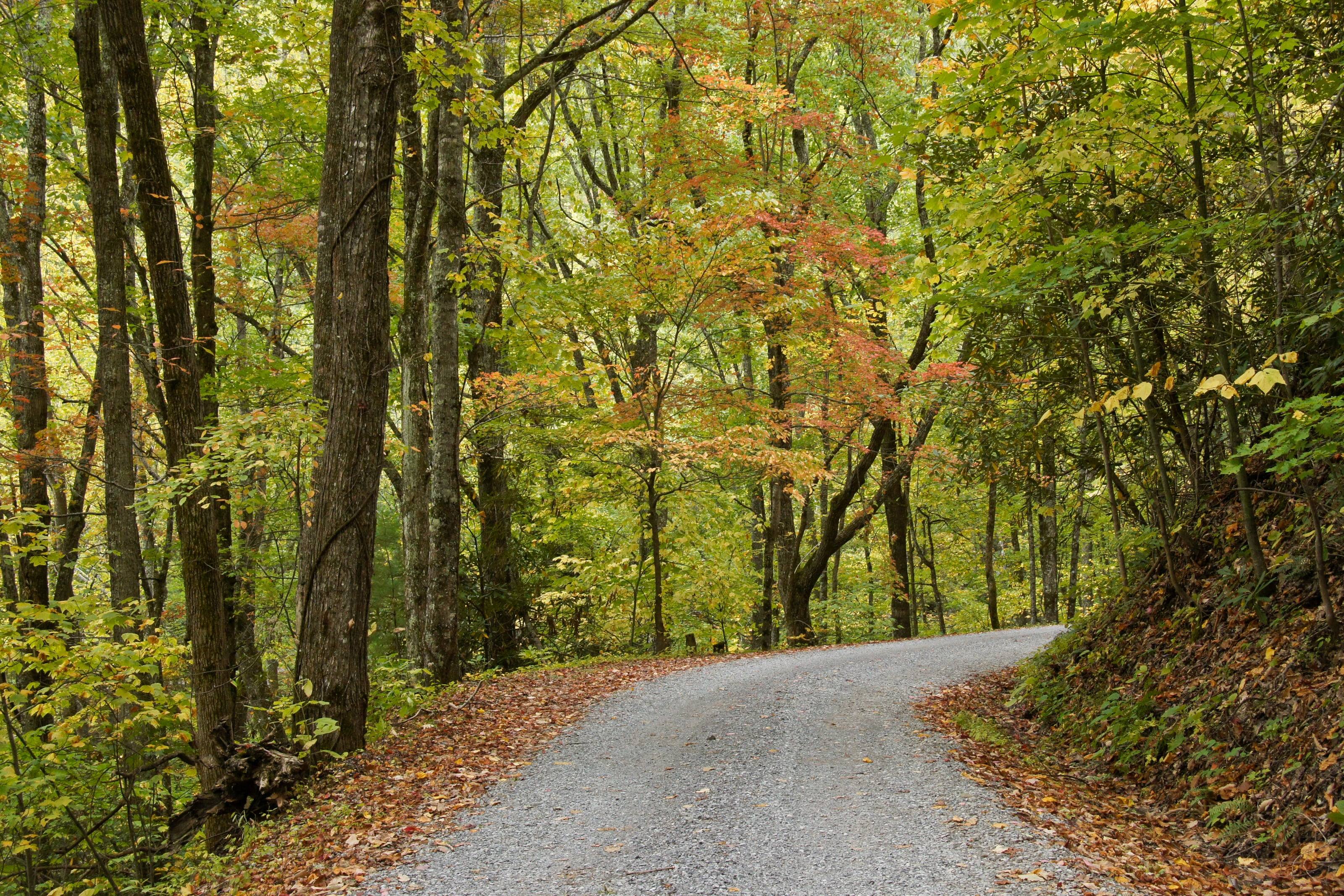
A one-lane gravel road under autumn hardwoods in the Great Smoky Mountains.

The Overland Directory

Fabricators in Kentucky

Metal shops that design, cut and weld the parts you cannot buy off a shelf: bumpers, sliders, racks, skid plates, mounts and repairs.

Rich Mountain Road, Great Smoky Mountains National Park, Tennessee

We’re working on adding the latest fabricators in Kentucky here.

In the meantime, tell us about your project and we can get you connected with free build quotes.

Kentucky by the numbers

Acres of federal land 1
1.02M
Four percent of Kentucky’s 25.5 million acres. The Forest Service holds 818,751 of them and the BLM none
Acres in the Daniel Boone National Forest 5
708,879
Across 21 counties of southern and eastern Kentucky, in four ranger districts. The forest’s home page rounds it to more than 708,000 acres
Acres at Land Between the Lakes 27
170,000
About 110,000 in Kentucky and 60,000 in Tennessee, with 300 miles of natural shoreline
Black Mountain, the highest point in Kentucky 2
4,145 ft
Harlan County. The lowest point is 257 feet on the Mississippi River in Fulton County
Of cliff line on the Daniel Boone 5
3,500 miles
The forest claims one of the highest concentrations of rock shelters in the United States
Of national forest OHV trail 15
150+ miles
The forest’s own figure. Its OHV pass covers the Redbird Crest and White Sulphur systems, out of more than 600 miles of trail in all
Federal campgrounds a vehicle can reach 4
41
27 Army Corps of Engineers, 8 Forest Service, 6 National Park Service. 38 take reservations
Average annual precipitation 48
38 to 58 in
About 38 inches in the northeast, around 58 in the southeast. Since 2011 the state has run 7.4 inches above average

Armor, racks and staying narrow

Kentucky rewards a tight vehicle. The Forest Service caps machines at 50 inches on more than half the Redbird Crest sections and on any Sheltowee Trace stretch open to motors, and the gorge roads leave you a foot of shoulder. Rock sliders, skid plates and a clean underside earn their place here; a wide rack does not.

Think about moisture when you choose finishes. Up to 58 inches of rain a year, fords like the one on War Fork Creek, and long stretches of wet clay will find every unsealed weld and every bracket that traps water. Ask what each piece weighs and where it drains.

The full guide to overlanding Kentucky

What a fabricator does

When a catalog part does not exist for your vehicle, does not fit with what you already have, or is not strong enough for what you do, a fabricator builds it. Steel or aluminum, welded, finished, and mounted so the load goes into structure rather than sheet metal.

They also fix what breaks: cracked mounts, bent sliders, torn brackets and the frame damage that ends trips.

Common work

  1. 01Bumpers with winch mounts and rated recovery points
  2. 02Rock sliders and skid plates
  3. 03Roof racks, bed racks and ladders
  4. 04Swing-outs for tires, fuel and water
  5. 05Mounts for tanks, compressors and batteries
  6. 06Frame and bracket repair

How to choose a fabricator

Metalwork is easy to judge if you know where to look.

  1. 01Look at the welds, then at how the part mounts. Recovery points and sliders should tie into the frame.
  2. 02Ask whether they design in CAD or build to the vehicle, and whether you get drawings.
  3. 03Ask about material and finish. Raw, painted and powder coated parts age very differently.
  4. 04Ask if they have built for your platform before. Templates and fixtures save you money.
  5. 05Ask how a front bumper affects airbag sensors and crush zones. A shop that has done it properly will have an answer.

What to have ready before you ask for a quote

Photographs do most of the talking.

  1. 01Clear photos of the vehicle and the area the part mounts to
  2. 02What is already mounted there: winch model, lights, tire size
  3. 03What the part has to carry, and how much it weighs
  4. 04Steel or aluminum, and the finish you want
  5. 05A budget range and your timing

Questions people ask

Custom or off the shelf?

If a well-made part exists for your vehicle, it is usually cheaper and faster than custom, and a good fabricator will tell you so. Custom earns its cost when nothing fits, when parts from different makers have to work together, or when you need it stronger or lighter than the catalog offers.

Steel or aluminum?

Steel is stronger for the money, easier to repair in the field and heavier. Aluminum saves real weight on racks, skid plates and boxes, but costs more and needs a welder who works with it regularly. Many builds use both: steel where it hits rocks, aluminum where it just carries things.

Can a fabricator repair a cracked frame or mount?

Often, yes. Send clear photos with your request. A good shop will tell you whether it can be repaired properly or needs replacing.

How high is Kentucky?

From Paducah at 340 feet to Black Mountain at 4,145. Altitude decides what your engine, your brakes and your lungs have to work with, and how late in the year the passes open.

Towns

  1. Whitley City Stearns Ranger District office on US 27, more than 171,000 acres, and the Kentucky approach to Big South Fork and Blue Heron. 1,361 ft
  2. London London Ranger District office on I-75, 208,044 acres of it, the largest of the four. Laurel River Lake and the White Sulphur OHV trail are both close. 1,241 ft
  3. Harlan Below Black Mountain, at 4,145 feet the highest ground in Kentucky and the elevation the Geological Survey records as the figure before mining. 1,186 ft
  4. Middlesboro Headquarters town for Cumberland Gap National Historical Park, at the Kentucky mouth of the 0.9-mile US 25E tunnel. 1,142 ft
  5. Corbin On I-75 below Laurel River Lake, the highway town for the southern end of the London Ranger District and the Cumberland River. 1,081 ft
  6. Winchester Supervisor’s office for the Daniel Boone National Forest, at the eastern edge of the Bluegrass. The sensible place to have the vehicle looked at before anything else. 991 ft
  7. Somerset On US 27 at Lake Cumberland, the Corps of Engineers reservoir whose backwaters form the downstream end of both Kentucky Wild River sections. 977 ft
  8. Lexington Where I-64 meets I-75. The nearest full-service city to the Cumberland Ranger District and the gorge country. 969 ft
  9. Hazard On the North Fork of the Kentucky River in the Eastern Kentucky Coal Field. Perry is one of the six counties the Redbird district covers. 939 ft
  10. Manchester Clay County seat and the nearest services to the Redbird Ranger District office at Big Creek, which runs the Redbird Crest Trail. 864 ft
  11. Morehead Cumberland Ranger District office, and the town for Cave Run Lake. The Zilpo byway runs 11 miles out to a peninsula on the south shore. 734 ft
  12. Stanton West end of the Red River Gorge Scenic Byway on KY 11, and the mailing town for the Gladie Visitor Center. 677 ft
  13. Cave City I-65 Exit 53 and KY 70, the northern approach to Mammoth Cave and its 400 miles of surveyed passage. 639 ft
  14. Cadiz Trigg County seat on US 68, the eastern approach to Land Between the Lakes across Lake Barkley. 426 ft
  15. Grand Rivers North end of the Woodlands Trace National Scenic Byway, which runs 43 miles from here to Dover, Tennessee. 385 ft
  16. Paducah Where I-24 meets the Ohio River. The last city with full service before Land Between the Lakes from the west. 340 ft

Passes, high roads and summits

  1. Black Mountain The highest point in Kentucky, in Harlan County. The Geological Survey gives 4,145 feet as the elevation before mining; our own reading of the elevation surface at its map point is 4,132 4,145 ft
  2. Pine Mountain A 125-mile ridge from southwest of Jellico, Tennessee to Elkhorn City. The Geological Survey puts it at 3,200 feet in Letcher County 3,200 ft
  3. Pinnacle Overlook Above the gap at Cumberland Gap National Historical Park, four miles up Skyland Road from Middlesboro 2,440 ft
  4. Pinnacle Overlook Skyland Road to the Pinnacle Overlook: Middlesboro to the overlook above Cumberland Gap 2,440 ft
  5. Tater Knob The fire tower knob above Cave Run Lake on the Cumberland Ranger District. Our own reading of the elevation surface at its map point 1,389 ft
  6. Zilpo National Forest Scenic Byway Cave Run Lake to the Zilpo Recreation Area 1,389 ft
  7. Natural Bridge The sandstone arch on the western edge of the Red River Gorge country. Our own reading of the elevation surface 1,226 ft
  8. Chimney Top Rock A clifftop in the Red River Gorge, in Wolfe County. Our own reading of the elevation surface 1,178 ft
  9. Tunnel Ridge Road The Grays Arch and Auxier Ridge trailheads in the Red River Gorge 1,178 ft

Pass, road and summit elevations are the figures published by the agency that manages them. Town elevations are the town’s or county’s own figure where it publishes an exact one; the rest are from the U.S. Geological Survey (3D Elevation Program at the place’s official coordinates), retrieved September 18, 2026. Every source is listed at the foot of the page.

Free build quotes

Looking for fabricators in Kentucky? Tell us about the project and get free quotes.
Tell us about your project

Free build quotes

Tell us about your project

What are you building on?

Do you have it yet?

What do you want done?

Choose everything that applies.

What are you working with?

Budget for this work

When you want it done

A range is enough. It tells a builder which conversation to have with you.

Where should the shop be?

How far will you go for the right shop?

Where should the quotes go?

Best way to reach you

Free, and no obligation. We use these details only to connect you with builders. See our privacy page.

Sources for this page

58
  1. Congressional Research Service. Federal Land Ownership: Overview and Data (R42346), Tables 1 and 2, data as of September 30, 2024. Retrieved September 19, 2026.
  2. U.S. Geological Survey. Elevations and Distances in the United States, online edition. Kentucky low point footnoted to the Corps of Engineers. Retrieved September 19, 2026.
  3. U.S. Geological Survey. Geographic Names Information System and 3D Elevation Program point query. Elevation of the 3DEP surface at the GNIS coordinates of the named place, rounded to the nearest foot.. Retrieved September 19, 2026.
  4. Recreation.gov. Recreation Information Database (RIDB) full export. Retrieved September 19, 2026.
  5. USDA Forest Service, Daniel Boone National Forest. About the Area. Retrieved September 19, 2026.
  6. USDA Forest Service, Daniel Boone National Forest. Daniel Boone National Forest. Retrieved September 19, 2026.
  7. USDA Forest Service, Daniel Boone National Forest. Offices. Retrieved September 19, 2026.
  8. USDA Forest Service, Daniel Boone National Forest. Cumberland Ranger District Office. Retrieved September 19, 2026.
  9. USDA Forest Service, Daniel Boone National Forest. London Ranger District Office. Retrieved September 19, 2026.
  10. USDA Forest Service, Daniel Boone National Forest. Stearns Ranger District Office. Retrieved September 19, 2026.
  11. USDA Forest Service, Daniel Boone National Forest. Redbird Ranger District Office. Retrieved September 19, 2026.
  12. USDA Forest Service, Daniel Boone National Forest. Camping and Cabins, including the dispersed camping rules. Retrieved September 19, 2026.
  13. USDA Forest Service, Daniel Boone National Forest. Passes. Retrieved September 19, 2026.
  14. USDA Forest Service, Daniel Boone National Forest. Maps and Guides, including the four district Motor Vehicle Use Maps. Retrieved September 19, 2026.
  15. USDA Forest Service, Daniel Boone National Forest. Off-Highway Vehicles (OHV). Retrieved September 19, 2026.
  16. USDA Forest Service, Daniel Boone National Forest. Scenic Drives. Retrieved September 19, 2026.
  17. USDA Forest Service, Daniel Boone National Forest. Red River Gorge. Retrieved September 19, 2026.
  18. USDA Forest Service, Daniel Boone National Forest. Red River Gorge Scenic Byway. Retrieved September 19, 2026.
  19. USDA Forest Service, Daniel Boone National Forest. Redbird Crest Trail. Retrieved September 19, 2026.
  20. USDA Forest Service, Daniel Boone National Forest. White Sulphur OHV Trail. Retrieved September 19, 2026.
  21. USDA Forest Service, Daniel Boone National Forest. Sheltowee Trace National Recreation Trail. Retrieved September 19, 2026.
  22. USDA Forest Service, Daniel Boone National Forest. Cave Run Lake. Retrieved September 19, 2026.
  23. USDA Forest Service, Daniel Boone National Forest. Laurel River Lake. Retrieved September 19, 2026.
  24. USDA Forest Service, Daniel Boone National Forest. Central Forest. Retrieved September 19, 2026.
  25. USDA Forest Service, Daniel Boone National Forest. Rockcastle and Cumberland River Confluence. Retrieved September 19, 2026.
  26. USDA Forest Service, Land Between the Lakes National Recreation Area. About LBL. Retrieved September 19, 2026.
  27. USDA Forest Service, Land Between the Lakes National Recreation Area. General FAQ. Retrieved September 19, 2026.
  28. USDA Forest Service, Land Between the Lakes National Recreation Area. Rules and Regulations. Retrieved September 19, 2026.
  29. USDA Forest Service, Land Between the Lakes National Recreation Area. Supervisor’s Orders 60-08-13, 60-10-13, 60-11-17 and 60-04-13. Retrieved September 19, 2026.
  30. USDA Forest Service, Land Between the Lakes National Recreation Area. Backcountry Camping. Retrieved September 19, 2026.
  31. USDA Forest Service, Land Between the Lakes National Recreation Area. Turkey Bay Off-Highway Vehicle (OHV) Area. Retrieved September 19, 2026.
  32. USDA Forest Service, Land Between the Lakes National Recreation Area. Turkey Bay OHV Rules and Regulations. Retrieved September 19, 2026.
  33. USDA Forest Service, Land Between the Lakes National Recreation Area. Scenic Drives. Retrieved September 19, 2026.
  34. USDA Forest Service, Land Between the Lakes National Recreation Area. Roads, and the Forest Service maintenance levels. Retrieved September 19, 2026.
  35. Federal Highway Administration, America’s Byways. Woodlands Trace National Scenic Byway. Retrieved September 19, 2026.
  36. National Park Service, Mammoth Cave National Park. Mammoth Cave National Park. Retrieved September 19, 2026.
  37. National Park Service, Mammoth Cave National Park. Directions, including the Green River Ferry limits. Retrieved September 19, 2026.
  38. National Park Service, Mammoth Cave National Park. Camping. Retrieved September 19, 2026.
  39. National Park Service, Big South Fork National River and Recreation Area. Big South Fork National River and Recreation Area. Retrieved September 19, 2026.
  40. National Park Service, Big South Fork National River and Recreation Area. Directions. Retrieved September 19, 2026.
  41. National Park Service, Big South Fork National River and Recreation Area. Superintendent’s Compendium. Retrieved September 19, 2026.
  42. National Park Service, Big South Fork National River and Recreation Area. Backcountry Camping Permits. Retrieved September 19, 2026.
  43. National Park Service, Big South Fork National River and Recreation Area. Camping. Retrieved September 19, 2026.
  44. National Park Service, Cumberland Gap National Historical Park. Cumberland Gap National Historical Park. Retrieved September 19, 2026.
  45. National Park Service, Cumberland Gap National Historical Park. Traffic and Travel Tips. Retrieved September 19, 2026.
  46. National Park Service, Cumberland Gap National Historical Park. Overlooks. Retrieved September 19, 2026.
  47. Kentucky Geological Survey, University of Kentucky. The Eastern Kentucky Coal Field. Retrieved September 19, 2026.
  48. NOAA National Centers for Environmental Information. State Climate Summaries 2022: Kentucky (NOAA Technical Report NESDIS 150-KY). Retrieved September 19, 2026.
  49. Kentucky Transportation Cabinet. Red River Gorge (KY 77 / KY 715) Transportation Planning Study, Executive Summary, July 2023. Retrieved September 19, 2026.
  50. Kentucky Transportation Cabinet. Snow and Ice: priority routes and road condition descriptions. Retrieved September 19, 2026.
  51. Kentucky Legislative Research Commission. KRS 189.515, Restrictions on operation of all-terrain vehicles, effective June 29, 2021. Retrieved September 19, 2026.
  52. Kentucky Transportation Cabinet, DRIVE. All-Terrain Vehicles. Retrieved September 19, 2026.
  53. Kentucky Energy and Environment Cabinet, Division of Forestry. Outdoor Burning Laws, and the fire hazard seasons set by KRS 149.400. Retrieved September 19, 2026.
  54. Kentucky Energy and Environment Cabinet. Division of Forestry, and the ten state forests. Retrieved September 19, 2026.
  55. U.S. Army Corps of Engineers, Engineer Research and Development Center. Corps Lakes Gateway: Kentucky projects. Retrieved September 19, 2026.
  56. Kentucky Department of Fish and Wildlife Resources. Frequently Asked Questions, including wildlife management area vehicle and camping rules. Retrieved September 19, 2026.
  57. Kentucky Department of Parks. Kentucky State Resort Parks. Retrieved September 19, 2026.
  58. Kentucky Department of Parks. Campground Regulations. Retrieved September 19, 2026.

Reviewed September 19, 2026. Conditions, closures and rules change; check with the managing agency before you travel.